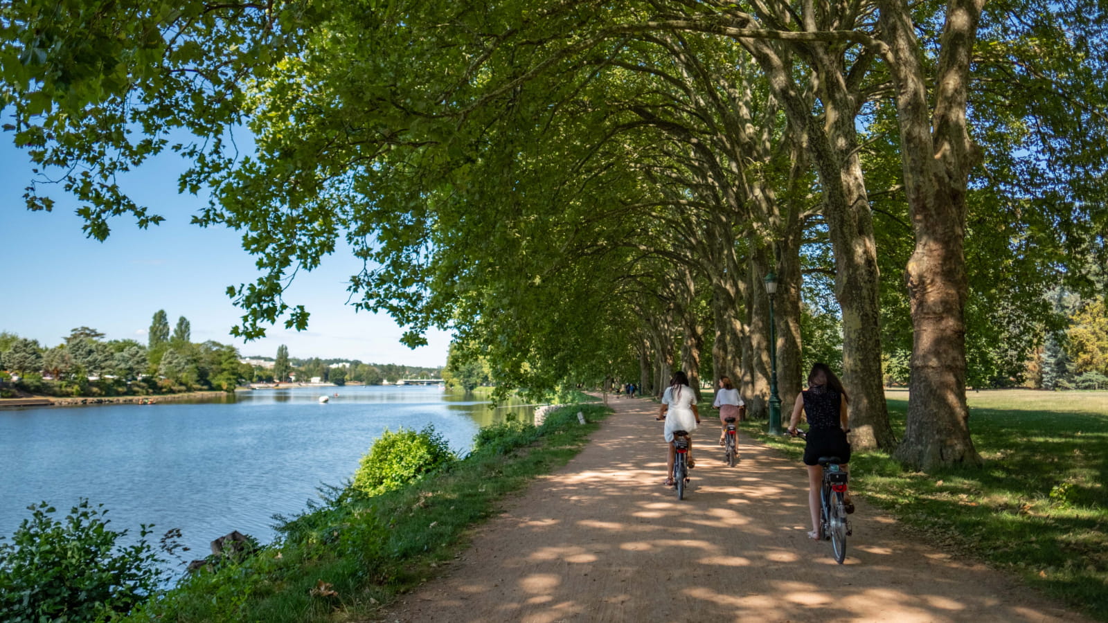
Voie verte de Saint-Yorre à Billy - Via Allier
The Via Allier, a cycle route linking the Bec d'Allier to the Mediterranean coast, runs for 27km along the river between Billy and Saint-Yorre, mixing nature and urban areas.
Three local loops have been laid out around this greenway, allowing you to enjoy the lush green surroundings of the river banks and discover the cultural and environmental treasures of the town centers. The comfortable, safe paths, 3 meters wide, are accessible to pedestrians and cyclists.
Pedaling along the water's edge, discovering nature in a mosaic of landscapes, heritage and tourist attractions... this is the promise of the Via Allier, which will renew the natural link woven by the river and its inhabitants. This "via" is a tremendous promise, linking the Loire to the Mediterranean coast, with a cycle link from Nevers to Palavas-les-Flots. Most of the route takes in the Allier valley, passing through Moulins and the vineyards of Saint-Pourçain-sur-Sioule. Around Vichy, 27 kilometers of trails, from Billy to Saint-Yorre, reserved exclusively for pedestrians and cyclists, are open to locals and tourists alike. The route will soon continue in the Puy-de-Dôme department, covering more than 110 km of marked trails. The unique and omnipresent star of this tour, the Allier River, is revealed in all its forms... Following it from the fortified town of Billy, via Saint-Germain-des-Fossés and its leisure park, you arrive in Vichy from the north, crossing the future Ailes eco-neighborhood before taking the promenade along the banks of Lac d'Allier. Here, the river, wild, natural and sometimes tortured, is regulated by the dam-bridge and forms a vast 100-hectare expanse of water bordering the parks and heart of the Queen of the Water Cities. The rest of the journey between nature and urban areas takes you to Saint-Yorre, on the border of the Puy-de-Dôme département. The water flows from south to north, and the paths along the river invite you to discover the riches of the towns along its banks, opening the doors to their heritage, shops, guinguettes and many activities. On your own, in a group or with the family, on foot or by bike, enjoy the sights and sounds of the Allier, France's last wild river, thanks to the three discovery loops that complete this green walk.
- Type : Aller-retour
- Nature du terrain : Ground
- Environnement : Cycling itinerary less than 1 km away, Close to GR footpath, Feet in the water: river, Riverside, Town outskirts, Lake 5 km away, Cycle track/route within 500 m, Waterside, Landing stage less than 500 m
- Animaux acceptés : ACCEPTES
- Itinéraire non éclairé en zone rural


