
Au départ de : Saint-Rémy-de-Chargnat
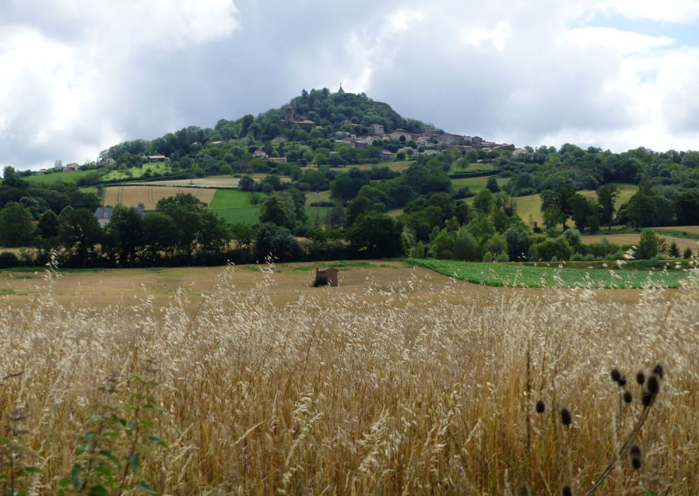
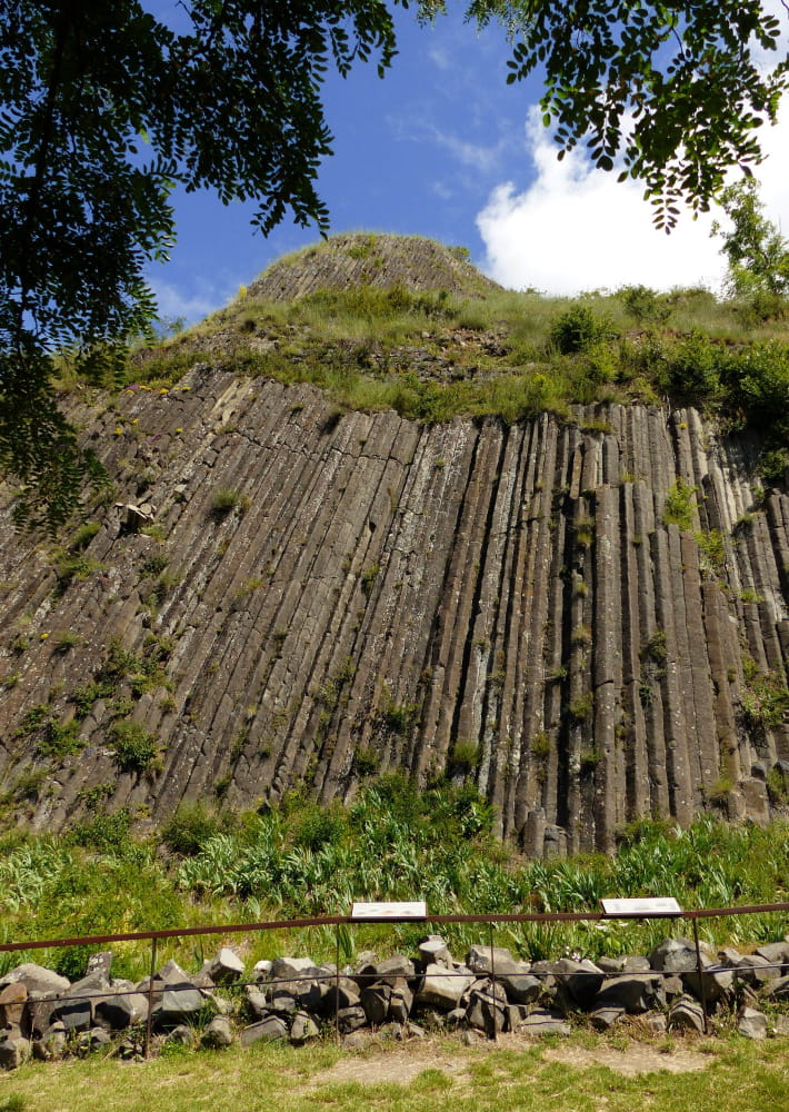
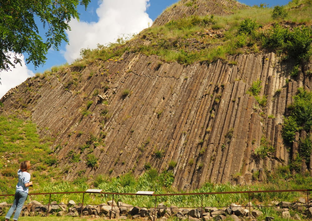
The peak of Usson
Usson, a perched village, its church, its basalt columns and its peak feed the curiosity of hikers. The panoramas of the Mont Dore and the Puys chain are no less remarkable.
Description détaillée Informations complémentaires
Starting point - From the starting sign, at the bus shelter after the Town Hall, turn right towards the fairground. Go on rue H. Pourrat on the right. At the next intersection turn left, then take the second street on the right, rue des vignerons. Turn right at the first street (at the bottom of the stairs), then turn left at the next street, rue au Chanvre. Continue to the left across the Place de l'Ormeau and then take the Varennes road. Turn right into rue de la Forge. Go around the church on the right by the rue de la Reine Margot, 100 m further on the right, then on the left until the crossroads with the D123.
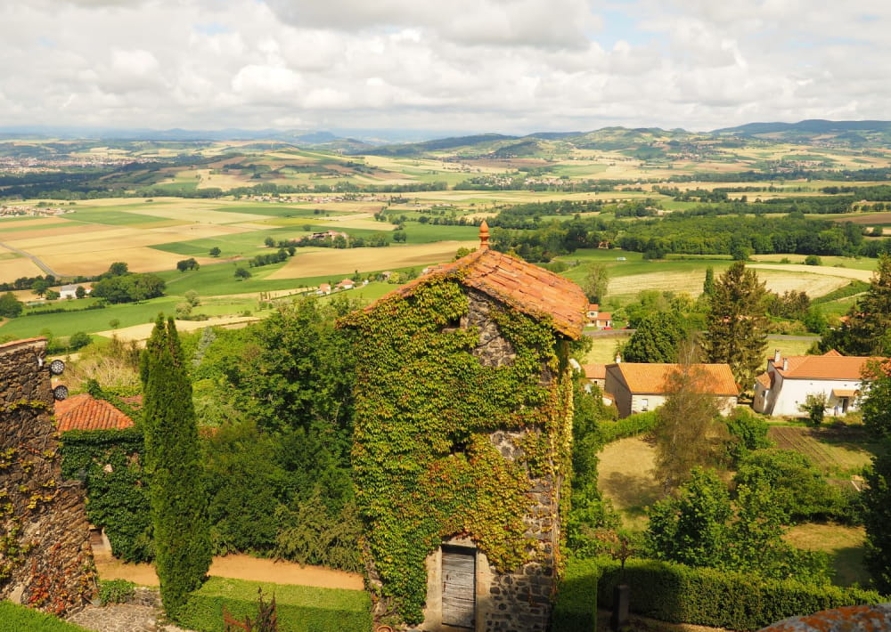
1 - Cross this crossing towards Usson, go up the first grassy road on the right. At the T-junction, go to the right, take the path along a coppice forest, then go up between fields, facing the peak of Usson, to a first house (view on the Cézallier and the Sancy massif).
2 - Go to the right, cross the hamlet; at the end of the street, go to the left. At the exit, go around a hangar and turn right onto a balcony path. At the first fork, continue to the left. In front of the castle turn right and then walk along a property (Bois Rigaud, 17th century). Turn left three times and reach a road.
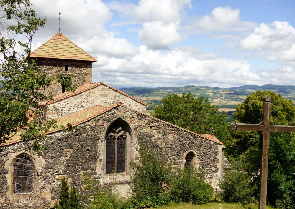
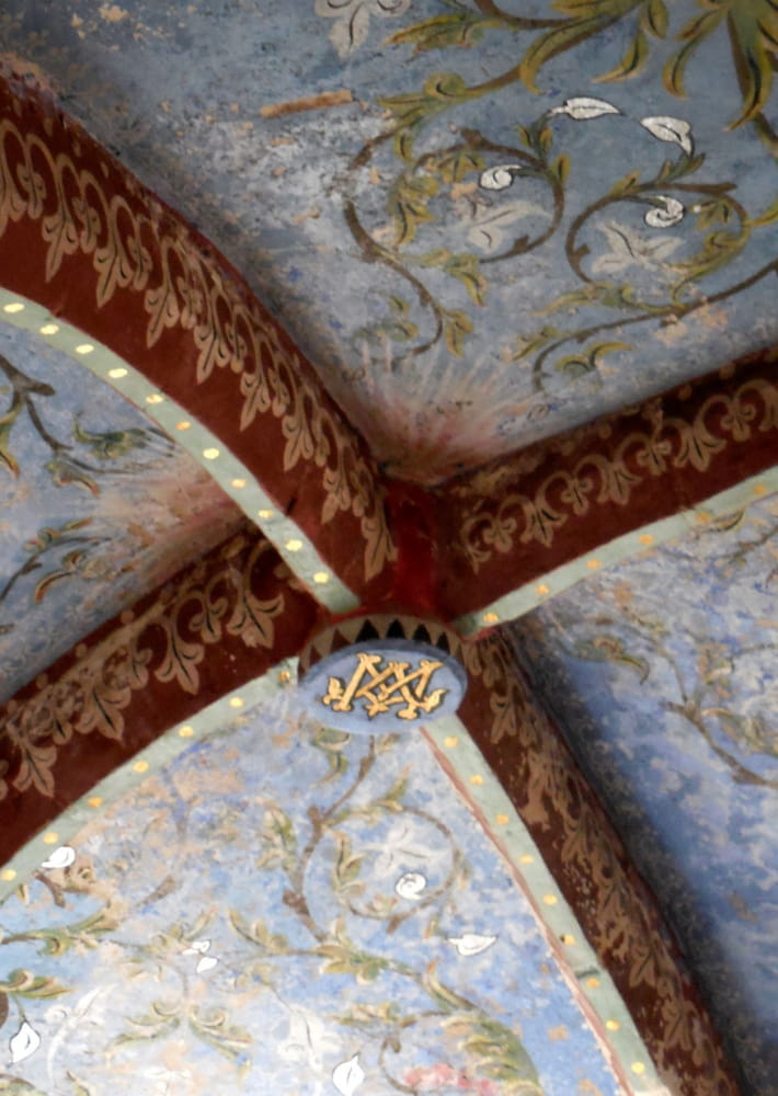
3 - Cross the road and pass in front of the transformer and head towards the village of Usson. Facing the cross and the fountain, go to the right. At the perimeter wall, go under the porch, then left (picnic area). Follow the small road passing between the houses. At the sight of the cross, take the path to the right and reach the top of the village of Usson (at the water tower, beautiful basalt organs). Go to the Romanesque church (panorama on the Sancy massif and the Cézallier).
4 - From the church - educational signage in enamelled lava, historical on Queen Margot - (possibility to go back and forth to the top of the site of the Virgin of Usson, 360° view), go down into the village. At the exit of Usson, turn right by the road. At the last house, continue to the left. At the crossroads turn left. In a curve, take to the left a wide stony and then grassy path to a vineyard.
5 - Go to the right on the dirt road along a very old clay wall for about 700 m, then turn right. Cut the road, go in front. At the entrance of the castle (château de la Vernède, mill), continue to the left. Back to the mill, go opposite on a grassy path to the village of Saint-Rémy-de-Chargnat.
- Type : Boucle
- Environnement : Presence of livestock and guard dogs, Mountain view
- Animaux acceptés : Les chiens doivent être obligatoirement tenus en laisse en raison de la présence de troupeaux.
- Pour votre sécurité, prenez toujours avec vous une bouteille d'eau, un chapeau, des vêtements chauds et contre la pluie, et équipez-vous de chaussures adaptées à la marche.
Selon les conditions météorologiques, certains itinéraires sont déconseillés par mauvais temps (brouillard) ou ne sont pas praticables, voire interdits, durant la saison hivernale.
Certains sites sont fragiles, restez sur les sentiers aménagés. Évitez de cueillir les fleurs sauvages et de dérangez la faune. Ramassez vos déchets.
Sur certains itinéraires, les animaux sont interdits.
On vous
recommande aussi
recommande aussi

Mise à jour le 12/06/2024 Par Conseil départemental du Puy-de-Dôme