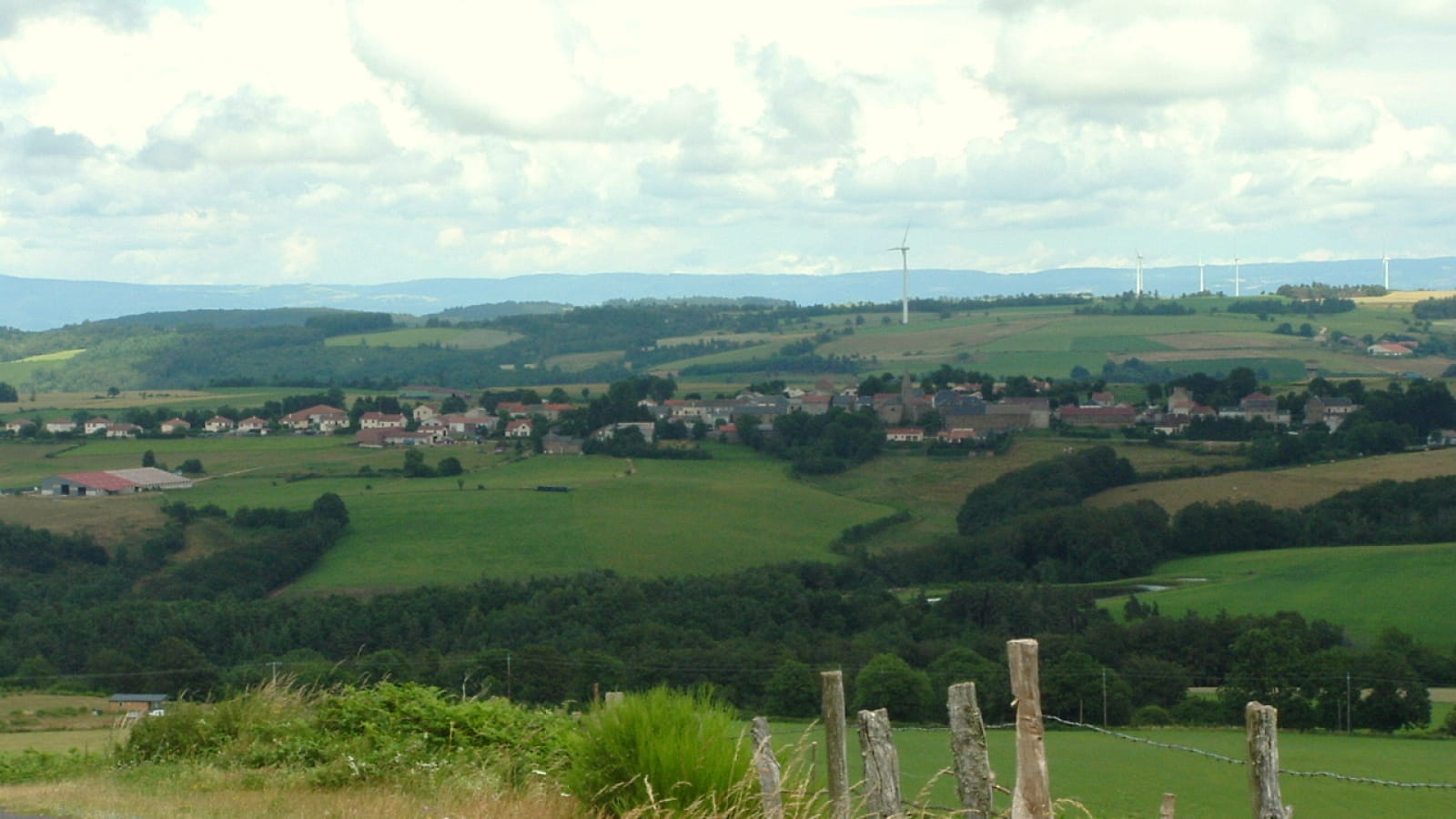
Bâtie sur un piton volcanique, isolée par les vallées profondes, véritables douves naturelles, la forteresse seigneuriale de Loubarcet était imprenable. De la pierre de couleur chaude aux pâturages ou sous-bois, découvrez les panoramas du Pays de Massiac.
Departure- Depart from La Chapelle-Laurent, near the well opposite the Mairie-school. Take the road down to the left of the well. When you reach the sawmill, keep to the right, then fork off a few metres further up on the left-hand path which runs alongside the sawmill.
1- Behind the old station, turn right.
2- At the road to Loubaresse, turn slightly left onto a sunken track.
3- Cross the road to Loubarcet, and take a sunken track which leads to the same road just before Loubarcet. Turn left. At the entrance to the hamlet, go straight ahead. An orientation table is set up on the motte castrale opposite the seigniorial chapel. Go around the chapel to the left.
4- At the crossroads, turn left. At the next junction, take the left-hand path between the twin wells to the orientation table (10 min round trip). Alternatively, continue straight ahead on the oncoming track.
This descends and becomes a dirt track. At the level, stay on the left-hand track for about 500 m.
5- Immediately fork right at a hairpin bend and take a hedge-lined path to a gate. Follow the path through the meadow towards the large beech tree. At this tree, continue right up the embankment towards the wood.
View over the Alagnonnette valley and the basalt spurs of Massiac and Puy de Dôme.
6- Go through a second gate and turn right through the wood. The path descends until it reaches a flat spot at the crossroads of forest tracks.
7- Turn right onto a wide track that descends slightly and then climbs back up to the houses in Loubaresse. Stay on this wide track, ignoring intersections.
8- At the hamlet, turn right. At point 2, return to the starting point on the same track as before.
- Type : Boucle
- Nature du terrain : Ground, Hard coating (tar, cement, flooring), Not suitable for strollers
- Environnement : In the country, Forest location, Panoramic view
- Animaux interdits même tenus en laisse
- Praticable en VTT et en VTTAE.
30 min. Facile


