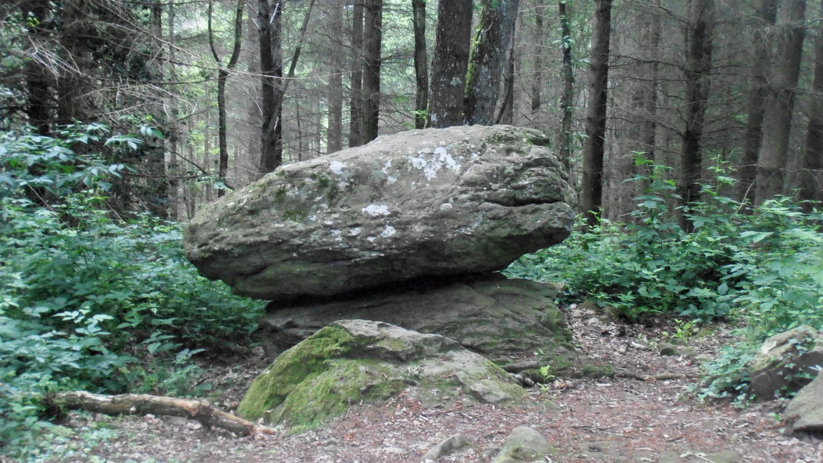
A forest walk in the Combrailles foothills that leads to the site of the ‘Pierre Branlante’. A block of granite has been removed by erosion and balanced. According to legend, this block oscillates by human effort alone.
1/ From the start sign in front of the town hall, walk up rue de l'Hôtel de Ville. Turn left into Grande Rue, then right into rue St-Genès as far as the crossroads with rue du Général Desaix. Turn left into rue Guynemer and continue uphill. At the crow's feet, turn right into rue des Santoux, then leave the road at the bend to follow chemin des Combes. Continue straight ahead along the meadow, crossing the stream. At the first crossroads, turn right into chemin des Borots, then left into the next street and continue for 50 m until you come to a fork in the road.
2/ Take the road to the right, continuing as far as a T-junction at the end of Rue des Randonniers, turn left and keep to the right along a property until you reach a crossroads. Take the path opposite that runs alongside the vines (winegrower's arbour) (view of the plain and the Bourbonnais mountains). Continue straight ahead to the next crossroads, then go right down through the woods to the road. Follow this road to the left for 1km and, at a sharp left-hand bend, turn right onto a track below the road. Continue until you reach a fork in the road and turn left until you reach a T-junction at the hamlet of Les Ballages.
3/ Turn right and keep right to go to the Pierre Branlante site (natural site of the Pierre Branlante) 20 min. RETURN JOURNEY. Return to point 2, turn right, go through the village, go straight down and up to the road. Take the road to the left and, at the first bend, follow a track to the right. Continue along this path through the woods until you reach a T-junction. Turn right to reach the next T-junction.
4/ Go downhill to the left and, at the first house, keep to the right until you reach a T-junction. Turn left to get back to point 1. Go right, then take the first track on the left, cross the stream again and continue straight on to get back to the starting point.
- Type : Boucle
- Environnement : In the country, Forest location, Presence of livestock and guard dogs
- Animaux acceptés : Les chiens doivent être obligatoirement tenus en laisse en raison de la présence de troupeaux.
- Pour votre sécurité, prenez toujours avec vous une bouteille d'eau, un chapeau, des vêtements chauds et contre la pluie, et équipez-vous de chaussures adaptées à la marche.
Selon les conditions météorologiques, certains itinéraires sont déconseillés par mauvais temps (brouillard) ou ne sont pas praticables, voire interdits, durant la saison hivernale.
Certains sites sont fragiles, restez sur les sentiers aménagés. Évitez de cueillir les fleurs sauvages et de dérangez la faune. Ramassez vos déchets.
Sur certains itinéraires, les animaux sont interdits.


