La cheire de Tournebise - Les balades de Léa et Tino
A breathtakingly beautiful walk through the mysterious world of volcanic cheires, with their chaos of piles of slag, moss and lichen. You'll also discover the remains of a mysterious medieval city, the Chazaloux camp.
1/ From the start sign, take the path into the forest of the cheire de Tournebise, part of the cheire de Côme (information on this, 20m after the start). 150m further on, the path begins to cross the Chazaloux medieval site (5 mins AR from the intersection, on the right and left, interpretations of the traces of the buildings). Continue straight on until you reach the fork at the end of the site. Go right and, at the next fork, go left. At the third fork, go right until you reach a Y junction.
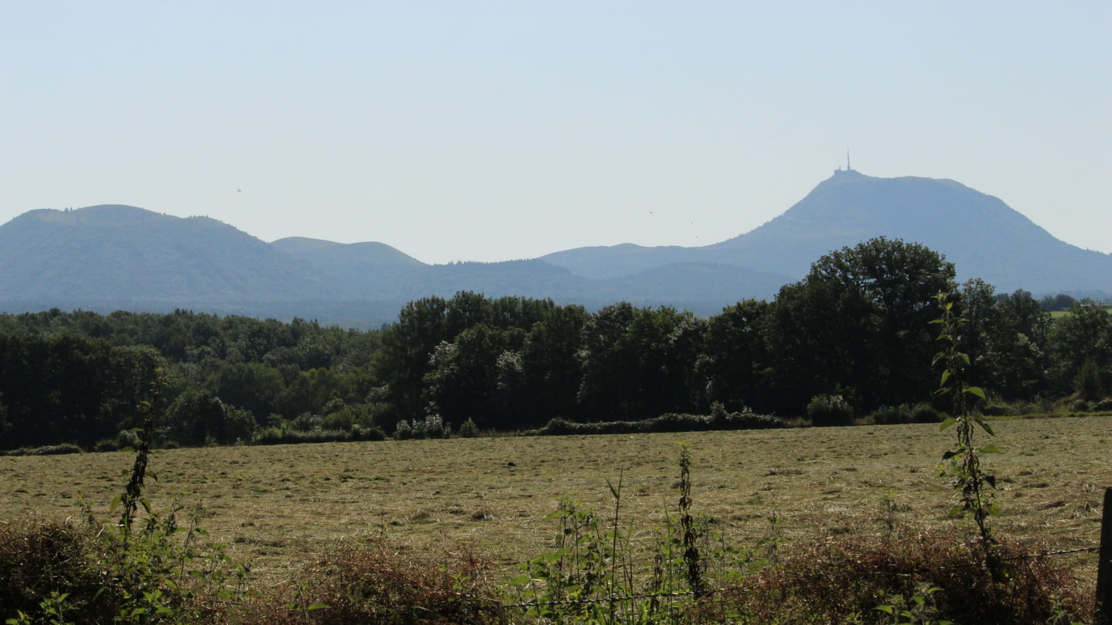
2/ Turn right and then left at the next junction. At the fork in the road, go down to the right and, after 30 m, continue to the right. Continue along a clearing with ruined buildings. Ignore the paths to the left and then to the right. Pass a car park on the edge of the forest. Stay on the main path, ignoring the side paths. Before the houses, there are views of the Banne d'Ordanche and then, 30m further on, the Dôme and Côme puys. Continue as far as the road.
3/ Turn right. At the next crossroads, leave Rue des Clidelles and take the road to the right. Walk past the farm buildings. At the car park sign, return to the start.
- Type : Boucle
- Environnement : In the country, Mountain view
- Pour votre sécurité, prenez toujours avec vous une bouteille d'eau, un chapeau, des vêtements chauds et contre la pluie, et équipez-vous de chaussures adaptées à la marche.
Selon les conditions météorologiques, certains itinéraires sont déconseillés par mauvais temps (brouillard) ou ne sont pas praticables, voire interdits, durant la saison hivernale.
Certains sites sont fragiles, restez sur les sentiers aménagés. Évitez de cueillir les fleurs sauvages et de dérangez la faune. Ramassez vos déchets.
Sur certains itinéraires, les animaux sont interdits.


