Au départ de : Saint-Mamet-la-Salvetat
Hiking trail - Le Rêtre
Hiking trail "Le Rêtre".
Description détaillée Informations complémentaires
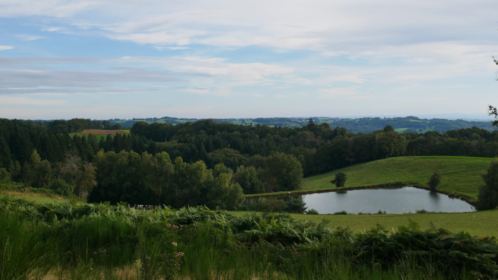
From the very heart of the village of Saint-Mamet and all along this path, you will notice the architecture of the houses in the villages you pass through and the beautiful coniferous and deciduous forests (beech, oak, birch and chestnut trees). Between the forest of Fargues and Vaurs: general view of the commune of Vitrac. You will pass near the pond of Vic, a green setting near the town.
This fact sheet is one of 55 available individually (€0.50) at each Visitors Bureau of the Châtaigneraie Cantalienne or to be downloaded from the Cantal Rando & Découverte app.
- Type : Boucle
- Nature du terrain : Ground, Hard coating (tar, cement, flooring), Not suitable for strollers
- Environnement : In the country, Forest location, Village centre
- Animaux acceptés

Mise à jour le 06/01/2024 Par Office de Tourisme de la Châtaigneraie Cantalienne


