
Au départ de : Saint-Mamet-la-Salvetat
Hiking trail - Le Puy Saint-Laurent
Hiking trail "Le Puy Saint-Laurent".
Description détaillée Informations complémentaires
A pretty village of granite houses with slate roofs, Saint-Mamet has a 12th and 14th century Gothic church with an 18th century altarpiece. This easy route is relatively shaded.
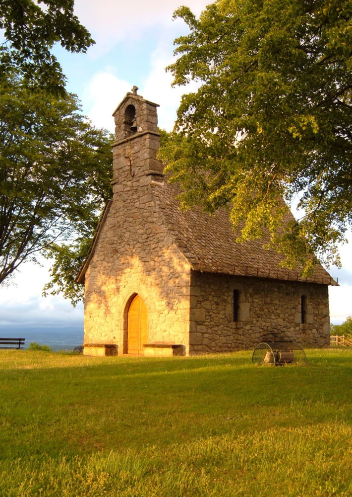
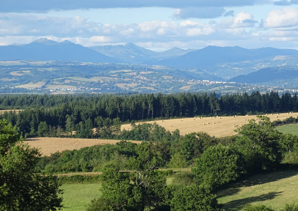
At point 1, if you turn left (off the route), you can go to Puy Saint-Laurent (771 m): chapel and circular panorama over the Aurillac basin, the Mounts of Cantal, Lake Saint-Étienne-Cantalès and the neighbouring departments (toposcope).
This fact sheet is one of 55 available individually (€0.50) at each Visitors Bureau of the Châtaigneraie Cantalienne or to be downloaded from the Cantal Rando & Découverte app.
- Type : Boucle
- Nature du terrain : Ground, Hard coating (tar, cement, flooring), Not suitable for strollers
- Environnement : In the country, Mountain view, Village centre
- Animaux acceptés
On vous
recommande aussi
recommande aussi


Mise à jour le 06/01/2024 Par Office de Tourisme de la Châtaigneraie Cantalienne