
A hike rather long in kilometres and time with a difficult climb between 5 and 6.
Near to the FONTANES footbridge spanning the Vezou ruins of an old house and a mineral spring containing carbolic acid. This water had medicinal properties used for the treatment of gastric troubles, passive haemorrhage and digestive problems.

Description détaillée Informations complémentaires
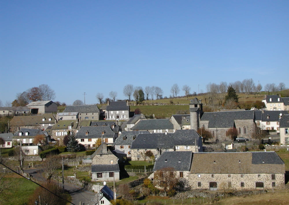
D - DEPART: Church in PIERREFORT. Take the direction of ORADOUR (D48). After the Old People’s Home
1 - take the first turning on the left. Continue in the direction of the sports field.
2 - At the reservoir continue to the right, join the FAVEROLLES bridge by a path bordering a small wall. Join the road and take left.
3 - At the way out of the village go right opposite the bread oven. The path leads to COLOMBIER. Hug the road on the left. Follow the D148 for 100 m.
4 - At the first jonction follow the large track between the D148 and the POUGET road. Follow this road for 900 m.
5 - At the crossroads go right and take the path between fences. Continue in the same direction. Pass near the village LE THERON and continue straight on.
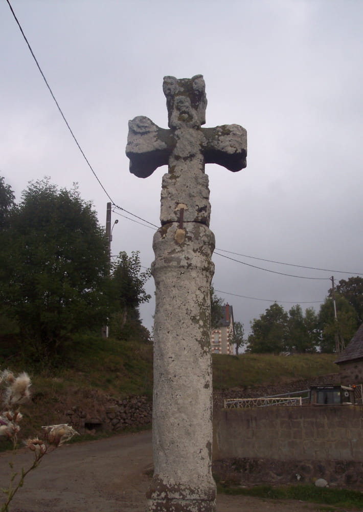
6 - Near a cross cross a little road and continue the path with trees and between pastures. Carry on until FONTANES. Cross the village.
7 - Cut across the D65. Enter the field. The path, 100m lower to the left descends rapidly to the mineral fountain. Cross the river Vezou. Climb again to cross the wood. Go round a grazing land to find a path at right. near a stone wall contunue left.
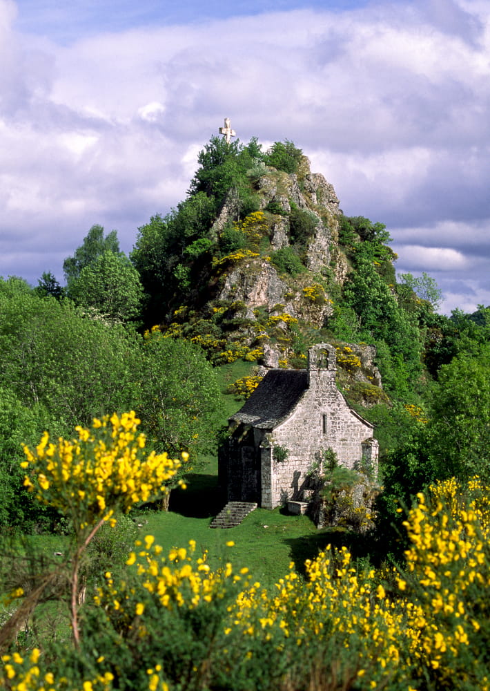
8 - Go right and find a good path which passes near an abreuvoir. View to the Turlande chapel.
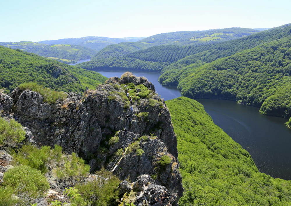
9 - You arrive at LABORIE (It is possible to make a detour here left towards the Rocher de Turlande. Views of the Gorges de Truyere and the 13th century
chapel, 30mins).
At the crossroads take the track to the right. Go 1 km until the road to PAULHENC.
10. Continue towards PAULHENC and at the beginning of the village go right opposite the oratory. Passing the cemetery to the left continue in the same direction. Cut across the D990. Carry on opposite reaching a large agricultural shed.
11 - Carry on opposite between meadows and reach the road. Cut across it and follow a good path on the right which descends to PIERREFORT.
12 - At the first houses take the tar road to the right. Immediately left take the Fonfrede road. 100 m after a large bend branch off in “Impasse des Iris”. Carly on through the slope and steps which leads to the D990. Follow the direction “Town centre” towards the departure point.
Mountainbike: Difficult. Between 6 and 7 rapid descent and very difficult climb (pushing).
.
- Type : Boucle
- Passage(s) délicat(s) : Montée physique après la descente dans la vallée du Vezou
- Nature du terrain : Ground, Not suitable for strollers
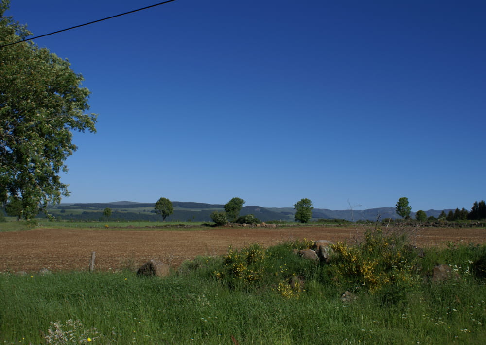
- Environnement : In the country, Overview on river, Panoramic view
- Traversées de pâturages et de propriétés privées, chiens interdits même tenus en laisse
- Pour tout renseignement supplémentaire s'adresser au Bureau de Tourisme de Pierrefort en face de l'église, point de départ de la randonnée.
Anglais et allemand parlés.


Mise à jour le 02/10/2023 Par Office de Tourisme des Pays de Saint-Flour