
Au départ de : Saint-Martin-sous-Vigouroux
Hike The Fros Wood
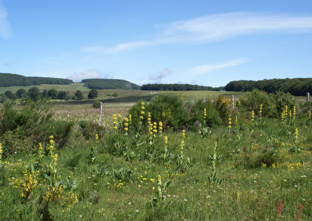
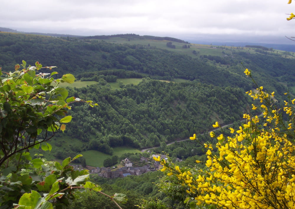
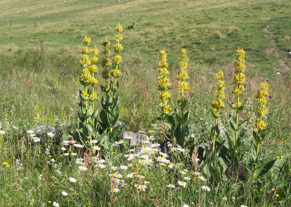
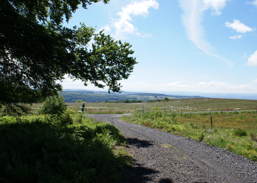
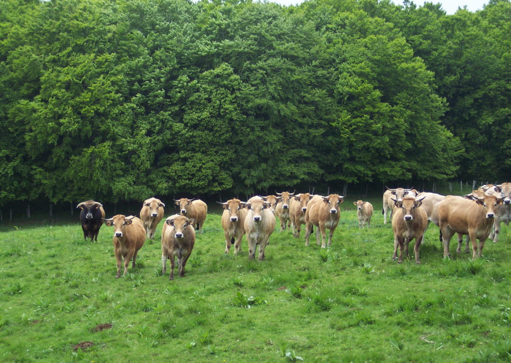
A 3 hours hike on the pastures of the Cantal Mountains with several mountain huts called "burons" where people made formerly in the summer the famous Cantal cheese. A pleasant hike above the Brezons Valley.
Description détaillée Informations complémentaires
D – DEPART: From VIGOUROUX at the beginning of the tarred path take the car until the forest (2,5 km). Do not follow the large path opposite but make your way to the left alongside the wall. Then penetrate the wood by a path to the left.
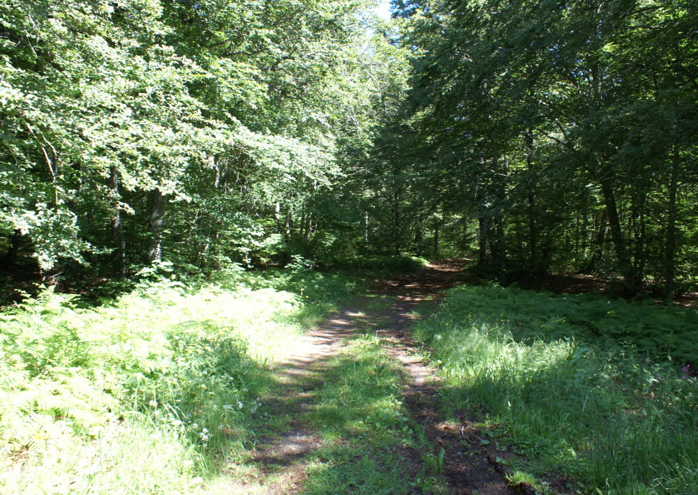
1 - Descend to the right on a large path which crosses a beech wood, follow the edge before following the stream. Cross the stream on a bridge of stones. Climb up opposite until the road.
2 - Follow the road until MONTREAL.
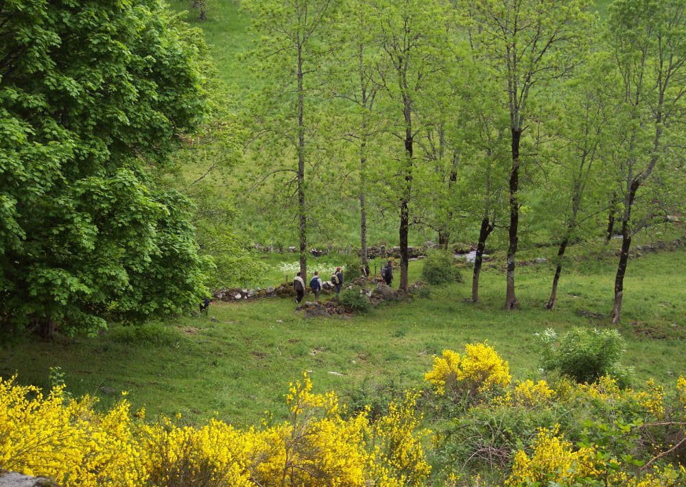
Pass between the houses and continue on the path which keeps to the left. Follow it. At the crossroads leave the left branch and continue until a crossroad passing in front of a farm.
3. Follow opposite on a large path between meadows. At the following fork continue right in the direction of an old cowshed with corrugated blue roof. The route of the ramble arrives at the point of the beech wood. Stay on this good path which turns to the left and reach a parking place.
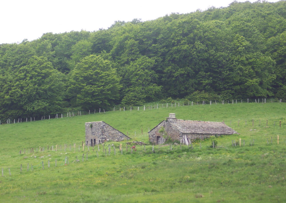
4 - The path passes near the ruins of the Buron du Louvatier. Beautiful view to the High Valley of Brezons and the Cantal mountains. Stay on the good path on the left until a parking place.
5 - Leave the track and take a grassy path in undergrowth. At the first crossroad go up to the right. By some bends join a large track.
6 - Follow to the left on the edge of the wood. Follow it until an opening in the wood. View to the Lebréjal and Aubrac plateau.
7 - At the following crossroad turn left on a path which again finds the wood. At the following crossroad go right then stay on this good track until the departure point.
Mountainbike: difficult level. Time: count 1 hr 30 minutes.
Difficult rise and uneven track between 1 and 2.
Difficult descent between 1 and 2.
- Type : Boucle
- Passage(s) délicat(s) : non
- Nature du terrain : Ground, Not suitable for strollers
- Environnement : In the country, Mountain view, Panoramic view
- Traversées de pâturages et de propriétés privées, chiens interdits même tenus en laisse
- Pour tout renseignement supplémentaire s'adresser au Bureau de Tourisme de Pierrefort en face de l'église (tél. 04 71 23 38 04).
Anglais et allemand parlés.
On vous
recommande aussi
recommande aussi


Mise à jour le 27/08/2023 Par Office de Tourisme des Pays de Saint-Flour