
Au départ de : Neuvéglise-sur-Truyère
Hike The Epie and the Truyère Gorges
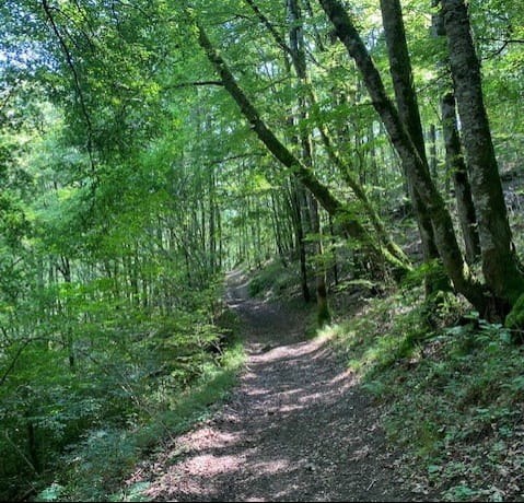
A likeable hike, especially in summer because the path is mostly in the shadow.
A descent and an ascent a little bit exhausting.
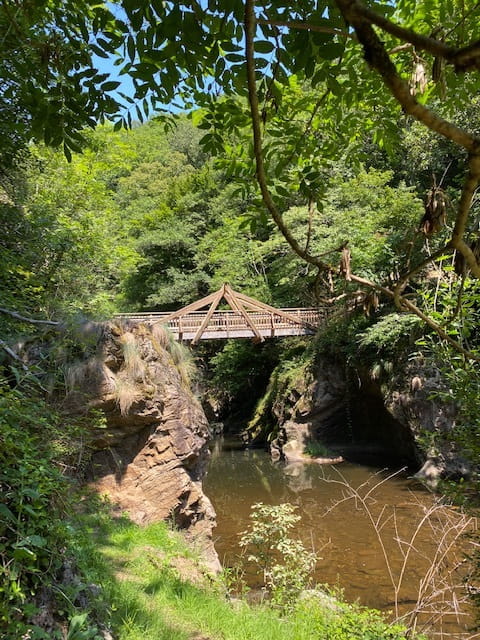
Possibility to reach the footbridge of Malineux over the river Epie which links Oradour and Neuveglise.
Description détaillée Informations complémentaires
D – DEPART: ORADOUR in front of the fountain near the "mairie". After the church follow the direction to MONS.
1 - Follow the tarred road until the oratory (at right) and take the good path to the right (sign "Malineux").
2 - At the 4 path crossing take a path to the left enclosed by steep hills which descends to the gorges.
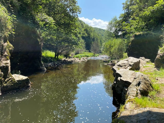
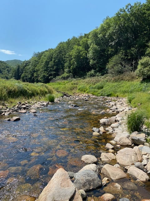
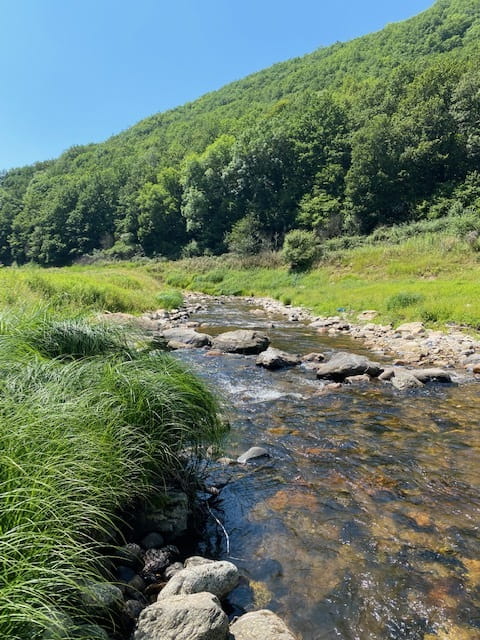
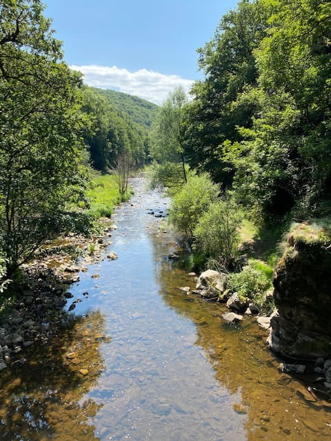
3 - At the crossing, at the depth of the gorges take the path to the left leading to the banks of the River Truyère level with the mouth of the River Epie. 300 m left the new built bridge "Passerelle de Malineux" which connnects Oradour with Neuvéglise.
Return to the level of the crossing and take a path to the left which follows the River Truyère.
4 - Climb back by a good path (View to the Truyère gorges) until “4 path crossing” then return towards ORADOUR by the same path.
Mountainbike: very difficult level, not recommended.
- Type : Boucle
- Passage(s) délicat(s) : Une forte descente
- Nature du terrain : Ground, Not suitable for strollers
- Environnement : In the country, Mountain view, Mountain location, Close to GR footpath
- Forte descente, chiens à éviter mêmes tenus en laisse.
On vous
recommande aussi
recommande aussi


Mise à jour le 22/11/2023 Par Office de Tourisme des Pays de Saint-Flour