Au départ de : Condat-en-Combraille
GR®89 – Chemin de Montaigne : Etape Condat-en-Combraille – La Celle
Le Chemin de Montaigne retraces part of the route taken by humanist philosopher Michel Eyquem de Montaigne on his journey from Rome to Bordeaux in 1581. This 10km stage links the towns of Condat-en-Combraille and La Celle.
Description détaillée Informations complémentaires
Departure from Condat-en-Combraille Town Hall
Town Hall car park
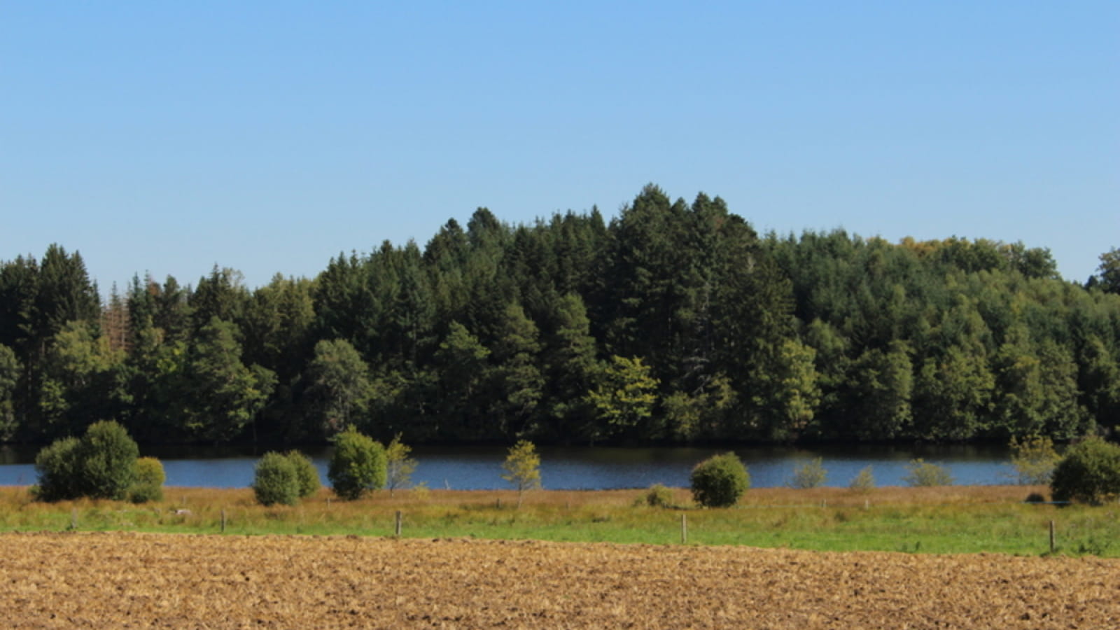
From the village of Condat en Combraille, this route takes you gently from the Puy-de-Dôme to the Creuse. Before that, the trail takes you past one of the largest ponds in the Combrailles, the 70-hectare Etang de Tyx.
- Type : Itinérance
- Nature du terrain : Stone, Ground, Hard coating (tar, cement, flooring)
- Environnement : Close to GR footpath, In the country, Riverside, Waterside

Mise à jour le 20/12/2024 Par Office de Tourisme des Combrailles


