
Au départ de : Brassac-les-Mines
From colliers to boatmen
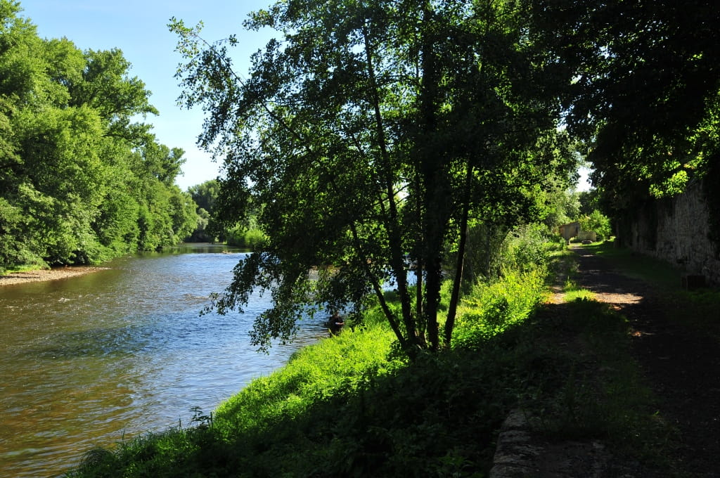
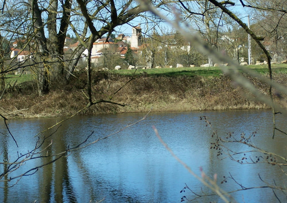
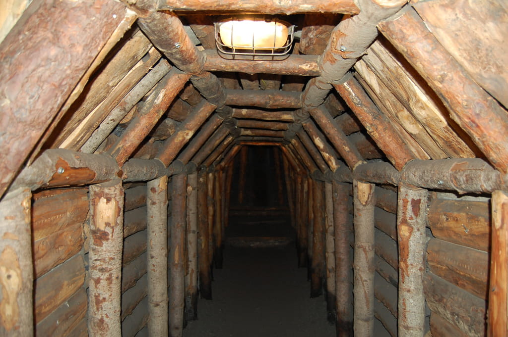
This itinerary located in the Val d'Allier highlights the traces of the daily life of the miners who extracted coal from the mineshafts to store it on large flat-bottomed boats sailing on the Allier and then on the Loire.
Description détaillée Informations complémentaires
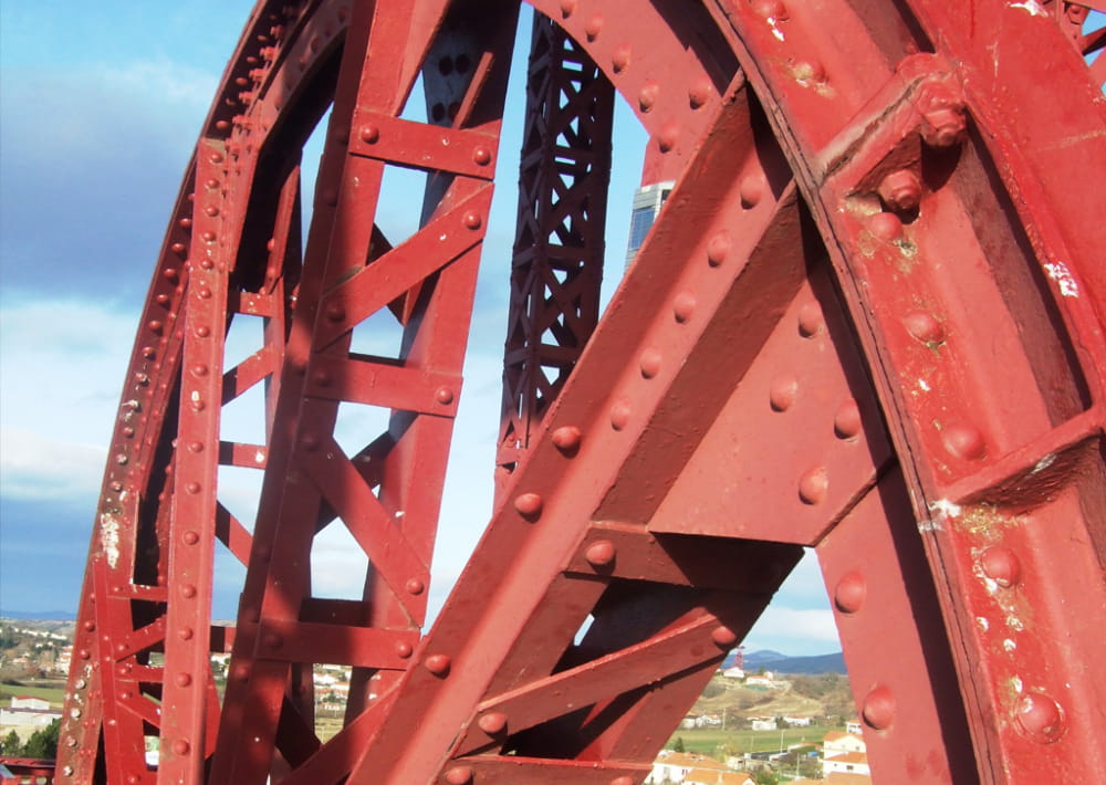
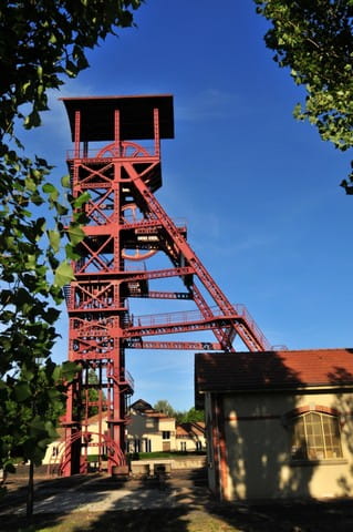
Starting point - From the car park, cross the D710, go around the Communauté de Communes building on the right, go under the porch, cross the road of La Combelle and take the rue de Solignat opposite until you reach the avenue des Gueules-Noires. Take the dirt road on the left for 50 m, continue on the right and join the asphalt road, follow it on the right for 60 m and then turn left to go up on the plateau (view on the Nonette hill, the headframes and the Sancy) until a fork (leave the circuit Des Pas des Mineurs).
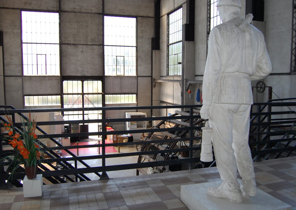
1 - At the cabin, go down on the left on La Combelle. At the houses, turn right until you reach the entrance of the old mine (Le puits des Graves, hot room, memorial), go down and turn left. After 80 m on the left, go up avenue du Puy-de-Dôme, turn left avenue d'Usson towards the orientation table, cross the plateau and join the road. Take the stairs on the right to the street below, turn left then 200 m (Galerie d'apprentissage des Mines. École Papillon) turn right onto rue Pelle-Fesse, leave the street on the left. At the stop sign, turn right, then turn left immediately towards the chapel, take the alley on the left, then right on avenue de la Poste. At the stop sign, cross over and leave rue de Petit-Puits on the right, take the 1st street on the right and in the housing estate turn right into rue des Grises then left into rue Descente des Grises. At the stop sign, turn right onto Avenue de Tansac and then left onto Rue du Bac towards Brassac. Continue to the left, pass under the railway and take rue de La Batellerie towards l'Allier (old footbridge).
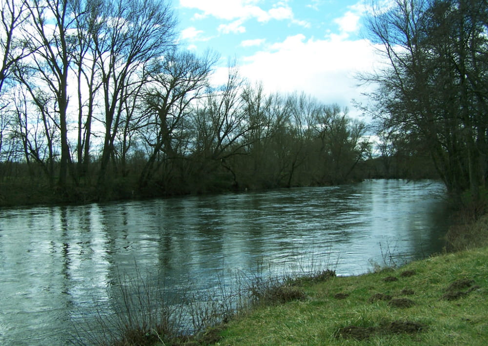
2 - Go up on the left, turn off towards the houses, continue on the right ignoring the rue du 19 Mars 1962, turn left on rue de la Roche and follow the rue des Écoles. At the stop sign, turn right onto rue Germinal until you reach the crossroads (bus shelter) towards Bayard. Before the esplanade, go down the stairs on the right to the street below. Turn left and after the bend follow rue Marcel-Renesio until you reach the old pumping station, on the banks of the Allagnon river.
3 - Take the track to the left of the road, at the sports field, turn right, join the road and follow the Allagnon. Before the footbridge follow the path on the left along the river, continue on the wider path and join the D710, cross it. Turn right for 80 m then left and right on the road to the houses. Follow the rue des Chambettes, then the avenue d'Armois, take the first right, then the 2nd street on the left route de la Combelle. Go under the porch and get back to the starting point.
- Type : Boucle
- Environnement : Presence of livestock and guard dogs
- Animaux acceptés : Les chiens doivent être obligatoirement tenus en laisse en raison de la présence de troupeaux.
- Pour votre sécurité, prenez toujours avec vous une bouteille d'eau, un chapeau, des vêtements chauds et contre la pluie, et équipez-vous de chaussures adaptées à la marche.
Selon les conditions météorologiques, certains itinéraires sont déconseillés par mauvais temps (brouillard) ou ne sont pas praticables, voire interdits, durant la saison hivernale.
Certains sites sont fragiles, restez sur les sentiers aménagés. Évitez de cueillir les fleurs sauvages et de dérangez la faune. Ramassez vos déchets.
Sur certains itinéraires, les animaux sont interdits.
Mise à jour le 12/06/2024 Par Conseil départemental du Puy-de-Dôme