Forêt domaniale de la Chartreuse
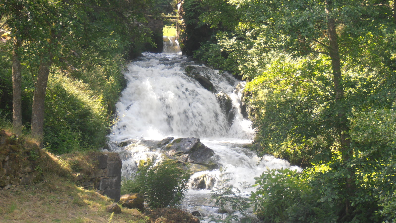
This is a lovely walk through the Sioule valley, which is remarkable from a landscape point of view and for the richness of its natural environments. Enjoy the beautiful Montfermy waterfall and the unobstructed views of the volcanoes of the Puys chain.
1/ From the start sign, cross the Sioule and follow the D 418 for 400 m, then take the 2nd road on the left towards La Garde. At the first bend in the road, take a path down to the left, cross a stream, climb up and down again to follow the Sioule (waterfall on the left), continue on the right bank until you come to a crossroads under a high-voltage power line (another green PR).
2/ Turn left and after 20 m turn right. Continue along the Sioule as far as the road (300 m to the right are the ruins of the Chartreuse de Port Sainte-Marie).
3/ Follow the road to the left, cross the Sioule and then go right up the gravel path. Reach a road, leaving 2 tracks on the right, and continue straight ahead. At the crossroads, go straight ahead and follow the small road, then turn left at the fork marked with a wooden cross. Go through the village and at the exit take a good track opposite and continue until you reach a junction of 4 tracks.
4/ Turn left, leaving a track on your left, and continue until you come to a crossroads near a hut. Turn right and follow the road to the left through the village of Côte-Faîte. At the end of the road, take the track on the right and then climb up through the undergrowth to a crossroads with 4 tracks.
5/ Go downhill to the left, climb back up at the fork and continue straight ahead at the next crossroads. At the small road, continue straight on. At the hamlet of Les Chazots, go straight ahead on a grassy track, reach a T-junction and descend to the left as far as the stream.
6/ Cross the stream and continue downhill to the left. Cross the Tourdoux stream again and climb up the other side of the valley. At the intersection of several tracks, turn right for 20 m and then left. Continue along this good path and at the T-junction turn right for 50 m, then left onto the small road. After 150 m, turn right then left at the first fork and continue downhill to Montfermy (view of the village and its 12th-century church), rejoining the starting point.
- Type : Boucle
- Environnement : In the country, Forest location, Presence of livestock and guard dogs
- Animaux acceptés : Les chiens doivent être obligatoirement tenus en laisse en raison de la présence de troupeaux.
- Pour votre sécurité, prenez toujours avec vous une bouteille d'eau, un chapeau, des vêtements chauds et contre la pluie, et équipez-vous de chaussures adaptées à la marche.
Selon les conditions météorologiques, certains itinéraires sont déconseillés par mauvais temps (brouillard) ou ne sont pas praticables, voire interdits, durant la saison hivernale.
Certains sites sont fragiles, restez sur les sentiers aménagés. Évitez de cueillir les fleurs sauvages et de dérangez la faune. Ramassez vos déchets.
Sur certains itinéraires, les animaux sont interdits.


