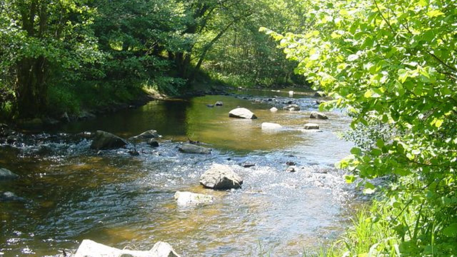
De Savennes aux gorges du Chavanon
On the right bank of the wild Chavanon gorges, you can discover a wealth of evidence of the past of the people who lived here: old mills, Savernes bread ovens, the Feix well, Saint-Jean chapel and the 16th-century Château de la Vialle.
1/ From the start sign follow the D31 and at the crow's feet take the un-surfaced track. Keep to the right to return to the D31. Turn left and at the end of Feix take the wide track on the right. At the fork in the road, turn left and at the end of the track (with a view of the Chavanon motorway bridge) continue along a footpath. Leave it on the left for a small grassy path and turn left at the T-junction. Follow this main path down to the D31 road.
2/ Cross the Chavanon and follow the track to the left (old railway line). Pass in front of the old Savennes-Saint-Etienne-aux-Clos railway station. Continue for over 2 km as far as the tunnel. Turn left down a steep path that runs alongside the river in a flood zone (impossible to cross if the water is high). Go back up the path and turn left. At the crossroads, turn left as far as the stone bridge (former SNCF bridge).
3/ Cross the bridge and turn left onto a path overlooking the river (view of the old SNCF bridge). Walk past the ruins and up a paved path at the beginning. Continue as far as the road, ignoring the side paths. Turn right to cross La Randonnière. Turn right towards a fence (view of the Sancy massif and the Ordanche banne), go through the chicane, cross a meadow and enter the wood. When you see the Roc cross, turn right to reach the return point for the Saint-Jean-du-Désert chapel.
4/ Descend to the left to reach a steep slope leading to the stream. Walk along it on the left for about 100 m and ford it (impossible if the water is high). Head uphill on the winding path until you reach a track. Turn left and continue until you reach a track. Turn left and continue as far as Pradelles.
5/ Go around this hamlet and at the crossroads take the road on the left, then the first track on the left. Leave a track on the right, turn right at the fork and after 20 m continue left along a track. Go down to the stream, walk alongside it and ford it (difficult if the water is high). Go back up the path to join a track. Go left as far as a meadow. Go along the hedge on your left, then the fence, until you reach an embankment. Follow the fences to the left and then to the right until you reach a gravel path and the hamlet of Les Sagnettes. Continue straight ahead and at the crossroads turn left. Join the D31, which takes you back to the starting point.
- Type : Boucle
- Nature du terrain : Ground
- Environnement : In the country, Forest location, Presence of livestock and guard dogs
- Animaux acceptés : Les chiens doivent être obligatoirement tenus en laisse en raison de la présence de troupeaux.
- Pour votre sécurité, prenez toujours avec vous une bouteille d'eau, un chapeau, des vêtements chauds et contre la pluie, et équipez-vous de chaussures adaptées à la marche.
Selon les conditions météorologiques, certains itinéraires sont déconseillés par mauvais temps (brouillard) ou ne sont pas praticables, voire interdits, durant la saison hivernale.
Certains sites sont fragiles, restez sur les sentiers aménagés. Évitez de cueillir les fleurs sauvages et de dérangez la faune. Ramassez vos déchets.
Sur certains itinéraires, les animaux sont interdits.

