De la source à la pierre branlante
From the village of Montcel, you can explore the ruins of Montcel castle, the panorama of the Livradois and the Chaîne des Puys and the Pierre Branlante site.
Departure point: From the start sign, walk downhill around the church to the right, pass between the church and the large mission cross, take the steps and turn right (well). Cross the D122 and take the path heading downhill (as you turn round, you will see the ruins of Montcel castle). In the hamlet, at the end of the ‘chemin du Verger’, turn right and, 100 m further on, go left. At the next T-junction, take the road to the right as far as a cross. Turn right onto the ‘chemin de la Maison Neuve’ for 1.5 km, past the mineral spring and then the Lachamp farm, and continue for 50 m to a crossroads.
1 - Turn right onto the track and climb up to a T-junction (view of Livradois-Forez, Combronde, Puy de Dôme, Montcel). Turn right. At the crossroads, continue straight ahead. At the fork in the road (waste collection centre), turn left, cross the road and go straight ahead. When you see the houses, continue towards them and enter Le Peyroux as far as the T-junction.
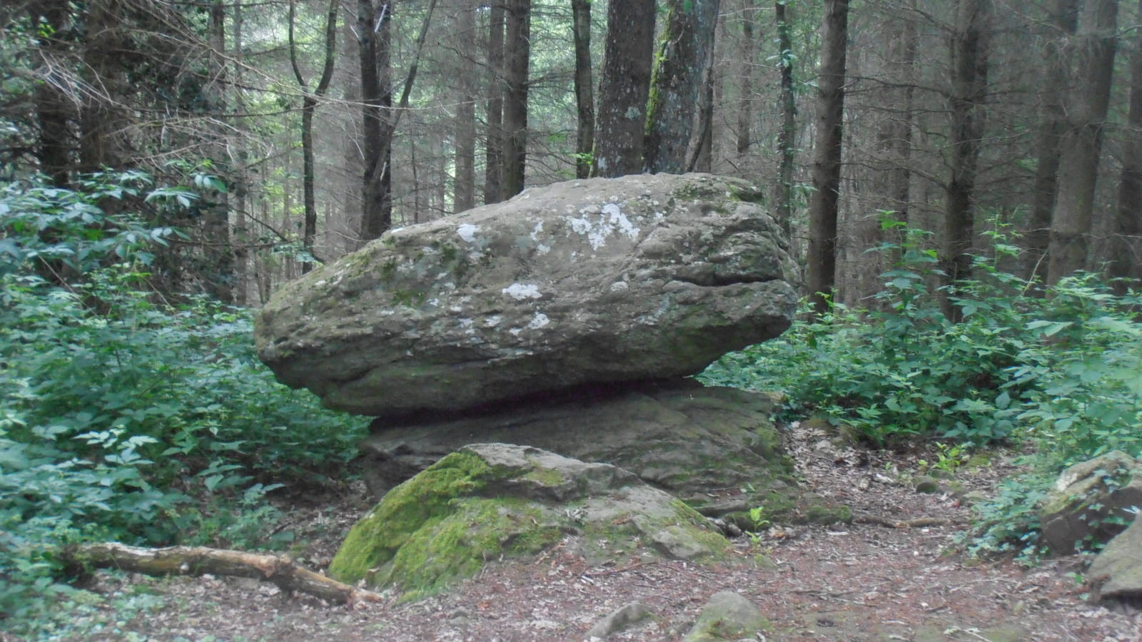
2 - Turn left and then, at the next crossroads, turn left onto the road for around 100 metres and then right onto ‘rue des Jouffrets’. At the bend after the farmhouse, take the left-hand path down to the Aise stream. Cross the ford, veer right and climb the steep forest path. After a flat area and another climb, when the path begins to descend slightly, leave it and go right. At the houses, take the ‘chemin de Côte Meunier’ road. At the bend in the road, continue straight ahead on the ‘chemin de la Pierre branlante’. At the fork in the road, stay on the edge of the forest. Near a megalithic site, continue along the path and, at the sign indicating the stone, take the path to the right to reach the Pierre branlante, 100 m further on.
3 - Make a U-turn to return to the signpost and turn right. Walk down to the stream, cross the ford and walk up to the hamlet of Les Jouffrets. At the fork in the hamlet, turn left up ‘rue des Jouffrets’ (several wells). At the crossroads with a cross, turn left onto the road (signposted Laligier, La Tour Serviat) for 50 m, then turn right onto the track. When you reach a private pond, turn left along the edge of a meadow and, at the top, continue until you reach the edge of a forest. Continue straight ahead along the path, which descends rapidly. At the T-junction, turn right. At the stop sign, take the road to the left for 30 m, then go down the path to the right. Rejoin the road and, before the church, return to the starting point.
- Type : Boucle
- Animaux acceptés : Les chiens doivent être obligatoirement tenus en laisse en raison de la présence de troupeaux
- For your own safety, always take a bottle of water, a hat, warm clothing and footwear suitable for walking.
Depending on the weather conditions, some routes are not recommended in bad weather (fog) or are not practicable, or even forbidden, during the winter season.
Some sites are fragile, so stay on the marked paths. Avoid picking wild flowers and disturbing wildlife. Pick up your rubbish.
Animals are not allowed on some routes.


