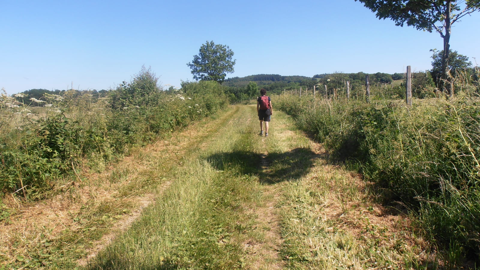
The Morge rises in the heart of the Combrailles region, near the Etang de Lachamps in Manzat. Calmer as it enters the plain, the river has created small meanders favourable to alluvial forests.
1/ From the start sign, walk up Rue du Château d'Eau. At the fork, turn left and climb up to the flat. At another fork, turn right as far as a T-junction (view of the Morge valley, puy de Blomont and Combrailles plateau).
2/ Go up to the left, then 30m to the right on a track between two pastures. At the junction with another large track, head downhill for 100 m, then turn left. At the D413, continue straight ahead. At the T-junction, turn right for a few metres until you reach another junction.
3/ Go downhill to the left and cross the Morge. At the T-junction, continue to the right (at the first level, there is a view of the Etang de Lachamp; information panel) as far as a tarmac road (stone cross).
4/ Turn right into the hamlet of Laty. Take the first turning on the left, then the first turning on the right. At the end of Laty, take the track on the left. At the crossroads, go straight ahead along the coniferous wood. Ford a stream and head uphill. Join a wide track that you follow to the right for 30 m. Opposite a painted wooden cross, take the track on the left. Continue through the forest, ignoring all the paths leading up to the left, and continue as far as the D 418.
5/ Follow the road to the right for 30 m and turn left onto the track that leads down into the woods. Cross the Morge by a footbridge made of large flat stones (slippery) and follow the path to the left, parallel to the course of the river. At a fork, take the right-hand path. Before Marmoizoux, turn left, cross the D 416 and continue along the grassy track that crosses the Morge again. At the T-junction, keep right and turn right onto the road that leads to Montbuisson.
5 - At the first house in Montbuisson, turn right down towards the Morge, veering left to go alongside it and then right to cross it. Climb up to the D413. Go straight on; at the farm building, turn left towards the hamlet of Les Barrats. At the small square (memorial cross in a private garden), turn left to reach the D416, which you take on the right for 300 m. Take the first track on the right. This road bends to the left and leads to Les Sardiers. Turn right at the first house in the hamlet.
At all subsequent crossroads, continue straight on until you reach Manzat. Drive along the Place du 14 Juillet 1789 and 50 m before the stop sign, turn right along a footpath towards ‘centre bourg’. Climb up the left bank of a stream. Turn left at the road. At the fountain, turn right to get back to the starting point.
- Environnement : In the country, Forest location, Presence of livestock and guard dogs
- Animaux acceptés : Les chiens doivent être obligatoirement tenus en laisse en raison de la présence de troupeaux.
- Pour votre sécurité, prenez toujours avec vous une bouteille d'eau, un chapeau, des vêtements chauds et contre la pluie, et équipez-vous de chaussures adaptées à la marche.
Selon les conditions météorologiques, certains itinéraires sont déconseillés par mauvais temps (brouillard) ou ne sont pas praticables, voire interdits, durant la saison hivernale.
Certains sites sont fragiles, restez sur les sentiers aménagés. Évitez de cueillir les fleurs sauvages et de dérangez la faune. Ramassez vos déchets.
Sur certains itinéraires, les animaux sont interdits.


