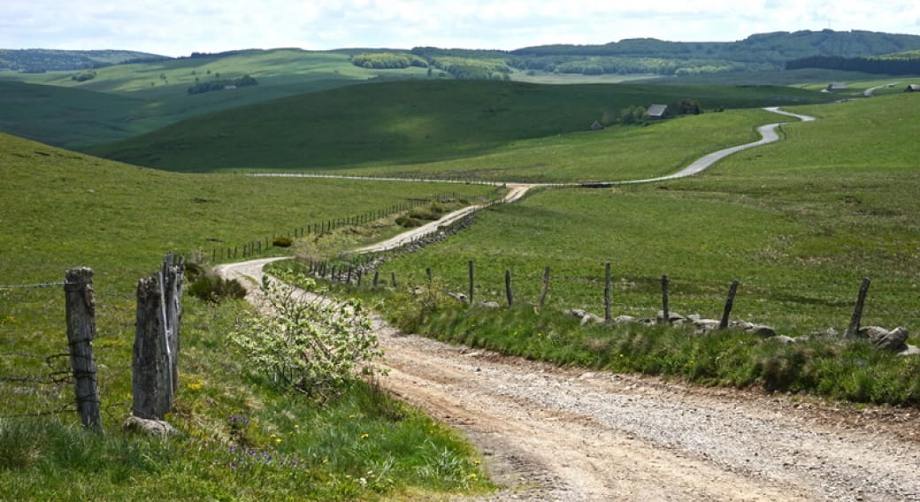
A high open plateau, corrugated, punctuated with granite blocks and herds, lakes lined with walls... A place where the eyes get lost and the walker pleases. A millennial place of passage on the way to St-Jacques de Compostela.
Situated in the borders of 2 regions: Auvergne-Rhône Alpes and Occitanie, the plateau of Aubrac extends over 3 departments: Lozère, Cantal and Aveyron. Of small surface, 40 km on 20 km, it is limited to the North by the gorges of Truyère and to the South by the valley of the Lot.
With an average height of 1000 meters, Aubrac peaks in 1469 meters in the signal of Mailhebiau and 1440 meters in the Truc of Aubrac. Forests and immense pastures are divided the space.
This entity to part, to the very strong identity became in 2018 the regional Natural reserve of Aubrac. An essential foundation for the future of this territory so particular.
To discover it:
- Walking map of Aubrac and organised trip by car to ask the Tourist Office of Chaudes-Aigues
- Villages to be visited: Saint-Urcize (Petite Cité de Caractère), Aubrac and the House of Aubrac
- The Sensitive Natural Space of the Volcanic hill of the Tuile and its panorama in 360°
- The waterfall of Déroc and the road of Lakes
- The thermal city of Chaudes-Aigues where hot waters spring in 82 °C,
- Gorges of Bès
- The village of Laguiole, its bull, its knives, its cheese maker cooperative Jeune Montagne
- The numerous hiking trails. For the walkers the Path of Santiago de Compostela or the route on several days " Aubrac au Coeur "
- The activities of open air " Aubrac 4 Saisons "
Periode d‘ouverture : Ouvert toute l‘année
All year round.


