
Une belle randonnée pour sillonner les plateaux du Cézallier tout en profitant d'une jolie vue sur les Monts du Cantal et la Margeride.
Description détaillée Informations complémentaires
Start - Car park, route de Ferrières. Go up towards the village and take the first street on the right. At the cemetery, take the left-hand path.
1- Take the track on the left which rises in the forest. Follow the road to the right towards Valence. At the crow's-foot, take the left-hand road.
2- Cross the hamlet of Valence, leaving a street on your right, then turn right.
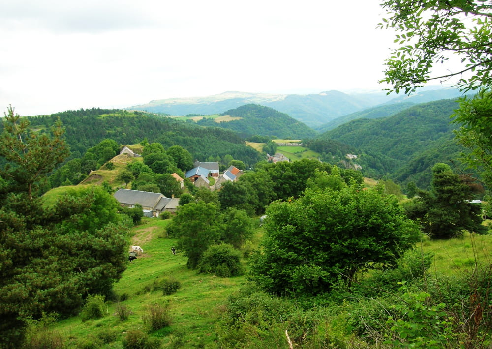
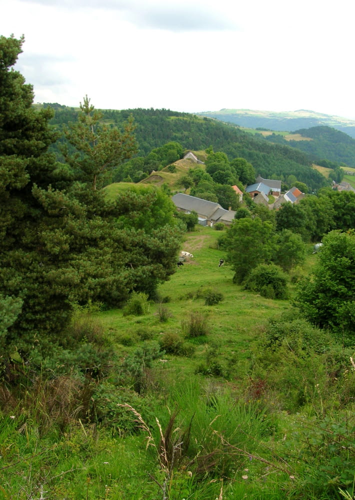
3- After 100 m, turn right. View of the Margeride and Monts du Cantal.
4- Turn left on the track, then continue on the road opposite.
5- At the D21, turn left onto a track.
6- At Chabassaire, cross the road and take a track going downhill opposite.
7- At Plavarenne, turn left at the crossroads. After 100 m, follow the river on your right. Cross it a little further down and go up into the pine undergrowth.
8- Go back down to the meadow and cross it to join the road above.
9- Take the road to the left. At the crossroads, turn left.
10- Take the first track on the left.
11- At Puech, turn right onto a track. Before a pine wood, take the track on the left. It then descends the hillside towards a hamlet.
12- Turn right after the modern barn, then descend to the bottom of the hamlet. Go under the rock, then down a track to the right.
13- Cross the road, pass the chicane and descend. Cross the Peyrusse stream and go up opposite the church.
- Type : Boucle
- Passage(s) délicat(s) : Mountain biking not recommended.
- Nature du terrain : Ground, Hard coating (tar, cement, flooring)
- Environnement : In the country, Riverside, Mountain view, Village 2 km away, Waterside
- VTT déconseillé
Mise à jour le 23/05/2022 Par Hautes Terres Tourisme