
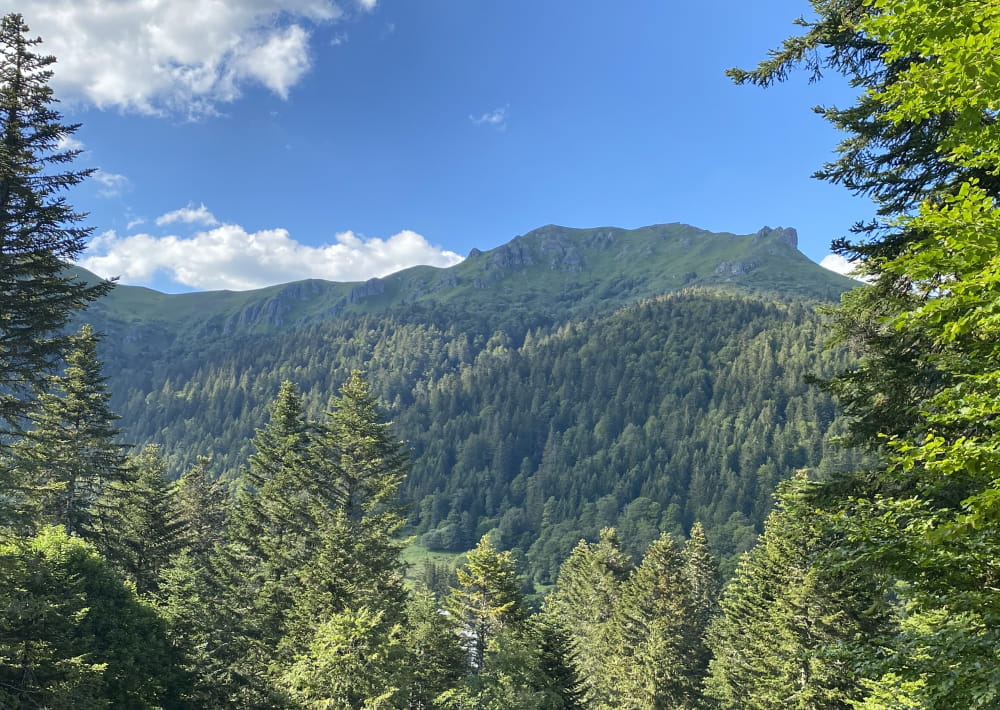
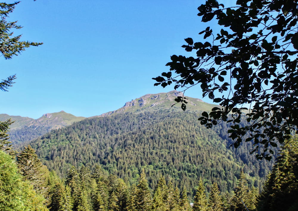
An aerial and quite physical itinerary that culminates at 1700 metres at the summit of the Bec de L'Aigle rock. From here, a 360° view allows you to appreciate the expanse of the great Cantalien volcano strato, which you can follow with your eyes as you climb to the summit of the Téton de Vénus.
Description détaillée Informations complémentaires
Start - With your back to the sports sign, go back up to the road and cross it. At the start sign, continue along the narrow road for about 20 metres. Before the chalet, turn left and take a wide track up to the crossroads.
1- At the intersection, turn right and continue on the large forest track for about 150 metres. At the next crossroads, take the track which rises to the left. The track rises into the fir forest. Keep to the main track, ignoring intersections. The path becomes narrower and enters the beech forest. Follow the signs until you leave the wood. Continue to climb through broom heath to reach a flat area in a summer pasture (beware of herds).
2- Turn left and continue into the meadow, heading for the Rocher du Bec de l'Aigle. When you reach the base of the rock, follow a path around it to the left. After passing the large rut, continue on the track, which becomes stony and climbs to reach the ridge and then the Bec de l'Aigle pass (1700 m).
3- Take the ridge path overlooking the Roches de Vassivière, cross the gate and pass under the Téton de Vénus, which can also be climbed (1669 m) to enjoy a magnificent view of all the surrounding valleys and peaks. Pass under the Puy de Bataillouze and reach an intersection.
4- Turn left, and descend into the broom heath to find the Meije-Coste buron (guarded refuge). After the buron, take the trail down to the bottom of the Font d'Alagon glacial cirque. Cross a gate, continue downhill and reach the crossroads of the pistes.
5- At the crossroads, turn left onto the main track for a good kilometer. This takes you back to Font d'Alagnon and the starting point.
- Type : Boucle
- Passage(s) délicat(s) : Steep ascent from Font d'Alagnon to Bec de l'Aigle, with a short rocky section that is very steep and slippery in wet weather as you approach Bec de l'Aigle. Passage over a ridge, not for those prone to vertigo.
- Nature du terrain : Rock, Stone, Ground, Grit, Not suitable for strollers
- Environnement : Forest location, Mountain view, Mountain location, Close to GR footpath
- Chiens déconseillés = passage dans les zones d'estives.
- Traversée de pâtures et de propriétés privées, chiens interdits, mêmes tenus en laisse. Itinéraire non praticable de mi-novembre à mi-mai : enneigement ainsi que par temps de brouillard.
On vous
recommande aussi
recommande aussi


Mise à jour le 10/10/2023 Par Hautes Terres Tourisme