
Au départ de : Saint-Mamet-la-Salvetat
Hiking trail - La Salvetat
Hiking trail "La Salvetat".
Description détaillée Informations complémentaires
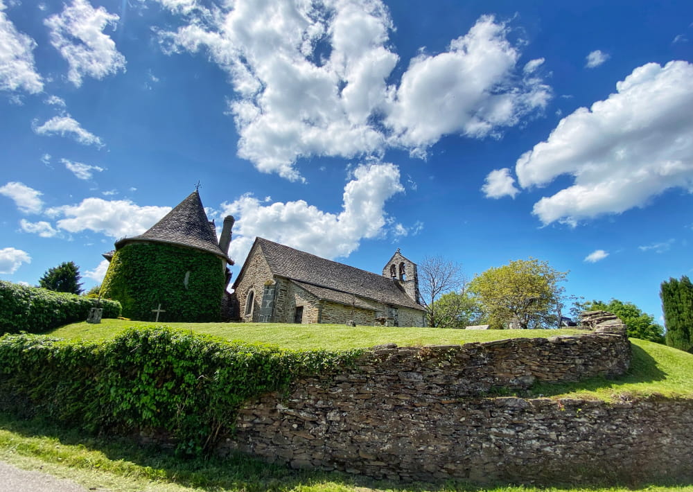
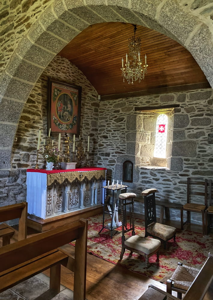
This circuit is situated at 750 m altitude on a wooded, semi-shaded plateau and offers a remarkable view. It is easy and has very little tarmac. You will walk along a coniferous wood and find a deciduous forest (beech, oak, birch). Halfway along the route, you will see the village of La Salvetat, with its restored houses, its church and its Commandery of the Order of Malta. In the keystone, you will notice the eight-pointed Cross of Malta.
This fact sheet is one of 55 available individually (€0.50) at each Visitors Bureau of the Châtaigneraie Cantalienne or to be downloaded from the Cantal Rando & Découverte app.
- Type : Boucle
- Nature du terrain : Ground, Hard coating (tar, cement, flooring)
- Environnement : In the country, Mountain view, Village centre
- Animaux acceptés
On vous
recommande aussi
recommande aussi


Mise à jour le 06/01/2024 Par Office de Tourisme de la Châtaigneraie Cantalienne