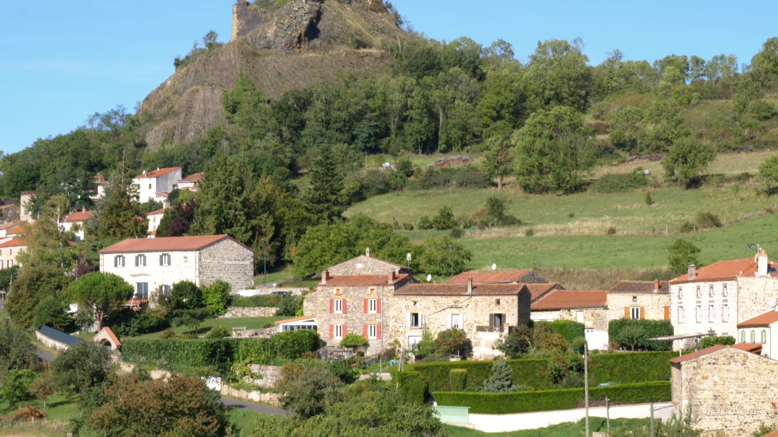
A tour in a beautiful area between the Allier and the " Nid d'aigle " of Buron through a path that is both village-like and country-like, leading to the summit of the puy Rousset, from where you can overlook the ruins of a 13th century feudal castle. Nice views.
Starting point - From the starting sign, go up rue de Chabonat (fire brigade). At the last house, the street becomes a path (view on the Sancy and Montpeyroux massif). Continue on this path, ignoring the right and left paths, until you reach the entrance of the village of Buron (passage near an old washhouse).
1 - Go up the street to the left and ignore the path of the Buron fountain. Go up the main street for 30 m, turn right into rue de Fontbuisson and go up rue de la Forge to the main street. Take it on the right for 150 m, go through the car park and go up on the left towards the church. To the right, go down the path under the wall. Ignore the dead end on the left and turn left.
At the Buron exit sign, at the fork, turn left onto the D 760. In Les Verdiers, go down the main street to the right. 30 m before the Calvary, turn right on Chemin de Largeleix. At the cemetery, continue to the left to enter Yronde. At the crossroads take the rue de l'Horloge on the left. Walk along the church and take the path of the Vias. Take the left track (other yellow PR on the right) to go up to the intersection (cross).
2 - Go straight ahead, ignoring the right and left paths, then continue straight ahead until you reach a crossing on the plateau.
3 - Turn left (radio relay / 180° panorama on the Cézallier, Sancy, Chaîne des Puys) and continue until the road. Follow it on the right for 50 m and then take the first road on the left. At the first intersection go down on the left. At the road, go opposite and follow the D 760 for 50 m. At the metal cross, take the right track. At the first intersection, turn left and continue straight ahead until you reach a crossroads of 5 paths.
4 - Go up in front then stay on the left on a grassy path. At a cross, go straight ahead (view of Montpeyroux). At the entrance to the village of Parent, at a fountain, go down to the left. At the next fountain, follow the direction of the VVF, on the left to return to the starting point.
- Type : Boucle
- Environnement : Presence of livestock and guard dogs
- Animaux acceptés : Les chiens doivent être obligatoirement tenus en laisse en raison de la présence de troupeaux.
- Pour votre sécurité, prenez toujours avec vous une bouteille d'eau, un chapeau, des vêtements chauds et contre la pluie, et équipez-vous de chaussures adaptées à la marche.
Selon les conditions météorologiques, certains itinéraires sont déconseillés par mauvais temps (brouillard) ou ne sont pas praticables, voire interdits, durant la saison hivernale.
Certains sites sont fragiles, restez sur les sentiers aménagés. Évitez de cueillir les fleurs sauvages et de dérangez la faune. Ramassez vos déchets.
Sur certains itinéraires, les animaux sont interdits.


