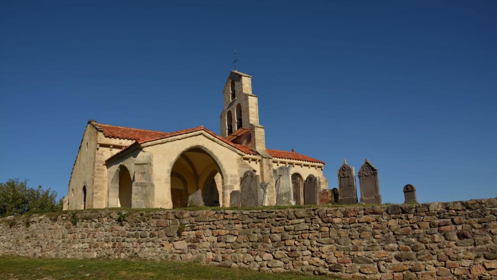
A hike in the land of basalt columns on a wooded and varied course accessible to all. A bewitching and impressive stroll towards the cliffs of the Oulette valley (shepherd's crook) or in front of the waves of the Salient waterfall (nearby).
Starting point - In front of the church go to the right then to the left by the rue d'Esteil, 80 m further on follow the rue de Cros on the right, then go up by the chemin des Montes. In front of the allotment turn left (view of the village of Jumeaux and the hillock of Nonette). Allow the roads to the right and at the end of the allotment go up to the left. Ignore the first path on the right and go up to the kennel. Continue the ascent without taking into account the paths on either side until the crossroads under the high voltage line.
1 - Continue straight ahead and take the first track on the left. Leave the path on the right and go down to the T-junction, continue to the left on a wide path. At the crossroads go straight ahead, ignoring the paths to the left and right until you reach the intersection (stele). Go down to the right until you reach the hamlet of Brenat. Go down to the right until you reach the road.
2 - Continue opposite on the unpaved road (on the right refuge for birds of prey) continue in the undergrowth until you reach the road. Go to the right and immediately to the left below the road. At the D132, continue to the right until the crossroads.
3 - Turn left, cross the 2 bridges "Moulin de Gourdine" and turn right. Go up to the hairpin bend and down the path to the right until you reach the road. Continue on the left until you reach the pond and after that go up on the left by the road. At the crossroads, continue to the right until Saint-Jean-Saint-Gervais (church and town hall).
4 - After going around the church go down the path (large cross). Continue the descent to the "Moulin de Saint-Jean" (respect private property). Go right, cross the stream on the footbridge. Turn right for 200 m and then go up the road to the left and after 50 m, turn left again (Roman road). Further up the hill, ignore the path on the left and continue until you reach the entrance of Serlandes.
5 - Turn left up to the road. Go left, then leave the road at the second road on the left (viewpoint on Jumeaux, the Puys chain, the puy de Dôme). At the fork turn right (beware 2 paths with green markings cross) go down to the village of Jumeaux. Turn right and continue straight ahead. Leave rue du Ruisseau on the left, continue rue des Aubettes, rue de la Liberté and then rue de l'Eglise to reach the starting point.
- Type : Boucle
- Environnement : Presence of livestock and guard dogs, In the country, Forest location
- Animaux acceptés : Les chiens doivent être obligatoirement tenus en laisse en raison de la présence de troupeaux.
- Pour votre sécurité, prenez toujours avec vous une bouteille d'eau, un chapeau, des vêtements chauds et contre la pluie, et équipez-vous de chaussures adaptées à la marche.
Selon les conditions météorologiques, certains itinéraires sont déconseillés par mauvais temps (brouillard) ou ne sont pas praticables, voire interdits, durant la saison hivernale.
Certains sites sont fragiles, restez sur les sentiers aménagés. Évitez de cueillir les fleurs sauvages et de dérangez la faune. Ramassez vos déchets.
Sur certains itinéraires, les animaux sont interdits.


