
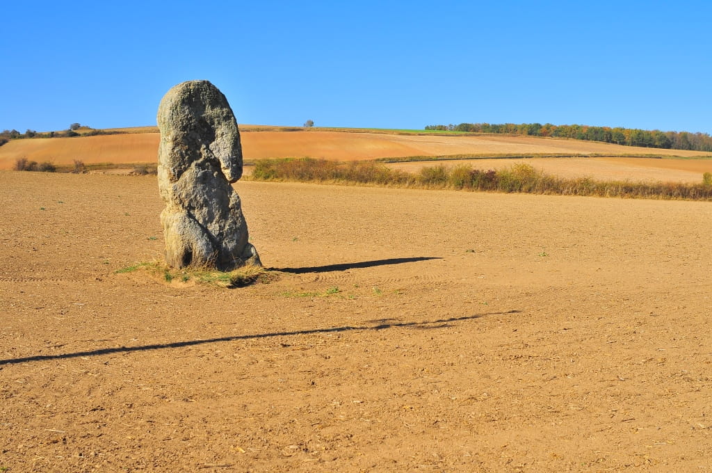
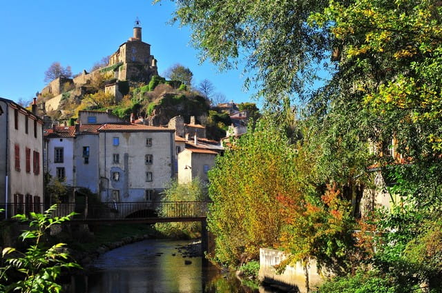
The path rises between vineyards and rocky outcrops to Aubary lime and the menhir of Pierre-Fichade, proof of a human presence of more than 4,000 years. We go down to the red tiles of Champeix and the couze Chambon.

Description détaillée Informations complémentaires
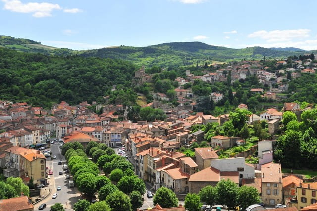
Starting point - From the starting sign on the right of the town hall, go towards the schools. Leave the D978 on the right, cross the D28 (route de Ludesse), then the school car park. Turn right just after the post office. Take a stone path on the left. At the crossing, turn right on the road (view of Champeix and Le Marchidial). Pass the houses and continue until you reach a T-junction. Turn left, go up between the vines (view of the Pardines plateau, the 12th century Anciat chapel and the Couze Chambon valley), then turn right at the next intersection. At the fork, turn left. At the crossroads, turn left (circular view of the County, the Allier valley, the Ysson peak and the Sancy massif) until you reach the fork.
1 - Keep on your left until the next crossing in T. Go down and, at the T-intersection, turn left onto the wide road until you reach the D28.
2 - Cross the road and take the first road on the left. Walk past the menhir of the Stone Fichade and continue straight ahead. At Beauregard, leave the right path and go down into Champeix. Turn left into "Petite rue de Beauregard". At the D996, turn left and reach the car park.
- Type : Boucle
- Environnement : In the country, Mountain view, Presence of livestock and guard dogs
- Animaux acceptés : Les chiens doivent être obligatoirement tenus en laisse en raison de la présence de troupeaux.
- Pour votre sécurité, prenez toujours avec vous une bouteille d'eau, un chapeau, des vêtements chauds et contre la pluie, et équipez-vous de chaussures adaptées à la marche.
Selon les conditions météorologiques, certains itinéraires sont déconseillés par mauvais temps (brouillard) ou ne sont pas praticables, voire interdits, durant la saison hivernale.
Certains sites sont fragiles, restez sur les sentiers aménagés. Évitez de cueillir les fleurs sauvages et de dérangez la faune. Ramassez vos déchets.
Sur certains itinéraires, les animaux sont interdits.
On vous
recommande aussi
recommande aussi

Mise à jour le 12/06/2024 Par Conseil départemental du Puy-de-Dôme