
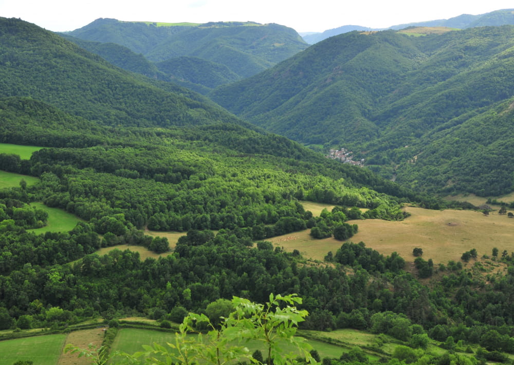
The tour of the peak of Cluzel takes place on a small path that rises gently, following the slopes of the oak wooded peak. Throughout this hike, the views of the valley are many and varied.
Description détaillée Informations complémentaires
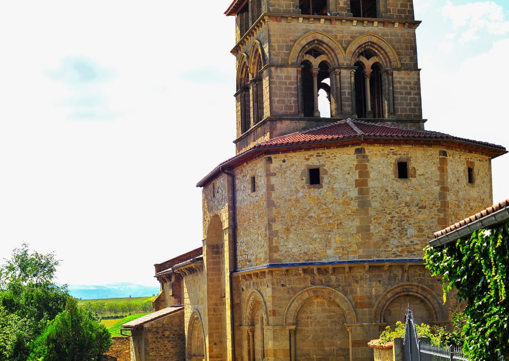
Starting point - Go up the alley on the right of the church. At the first crossing, turn left and then immediately right. At the water trough, turn right and go up the path opposite. Continue the ascent on the main road to an intersection.
1 - Go down the path on the right. At the T-junction, continue the descent on the right until you reach the village of Pradelle. On the road, turn right until you reach a junction of a road on the left at the exit of the village (transformer post).
2 - Go up this path and continue until you reach a T-junction. Go down to the right (other PR on the left). At the fork, stay on the left. Continue (in the S-curve overlooking the Jonas caves and the Massif du Sancy) until you reach a stone bridge.
3 - Cross it and go down to the right. Go along the stream (ferruginous water source). At the road, turn right, cross the bridge over the Couze Pavin and immediately turn left. Go up into the woods and stay on the main path until you reach a fork.
4 - Go down to the left (old coal ovens and at the headland overlooking the peak of Brionnet, the Notre-Dame du Mont-Carmel chapel and the Gourgoul gorges). Continue on the path (pailhats). At the road, turn right to reach the starting point.
- Type : Boucle
- Environnement : In the country, Forest location, Overview on river, Presence of livestock and guard dogs
- Animaux acceptés : Les chiens doivent être obligatoirement tenus en laisse en raison de la présence de troupeaux.
- Pour votre sécurité, prenez toujours avec vous une bouteille d'eau, un chapeau, des vêtements chauds et contre la pluie, et équipez-vous de chaussures adaptées à la marche.
Selon les conditions météorologiques, certains itinéraires sont déconseillés par mauvais temps (brouillard) ou ne sont pas praticables, voire interdits, durant la saison hivernale.
Certains sites sont fragiles, restez sur les sentiers aménagés. Évitez de cueillir les fleurs sauvages et de dérangez la faune. Ramassez vos déchets.
Sur certains itinéraires, les animaux sont interdits.


Mise à jour le 12/06/2024 Par Conseil départemental du Puy-de-Dôme