
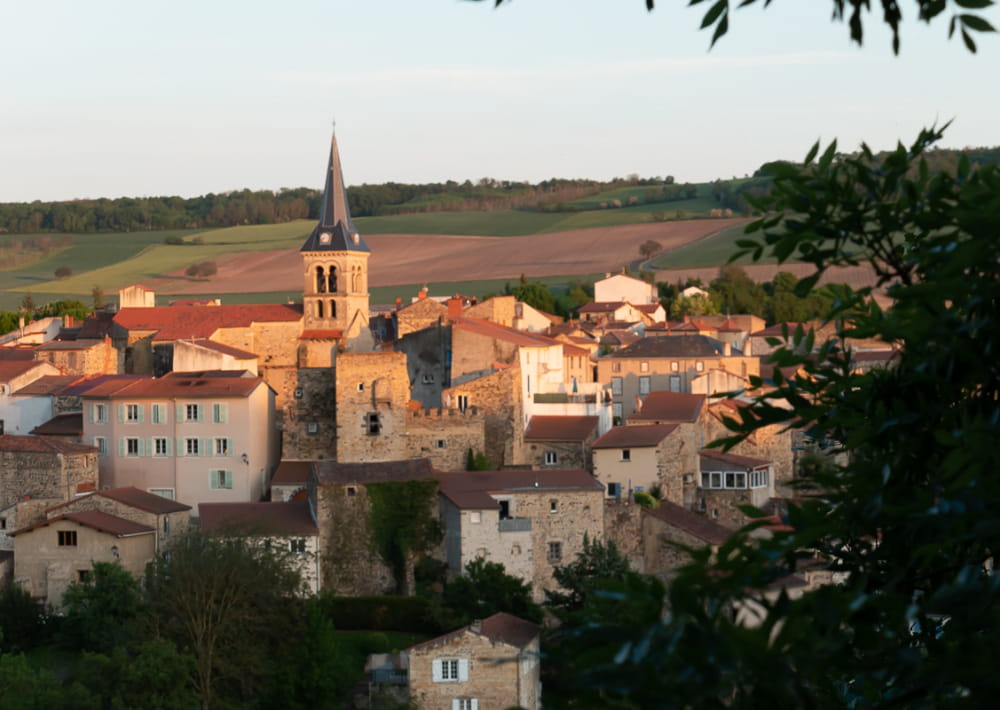
This hike will introduce you to the former winegrowing villages of Chadeleuf and Neschers and will take you along an old roman road.
Description détaillée Informations complémentaires
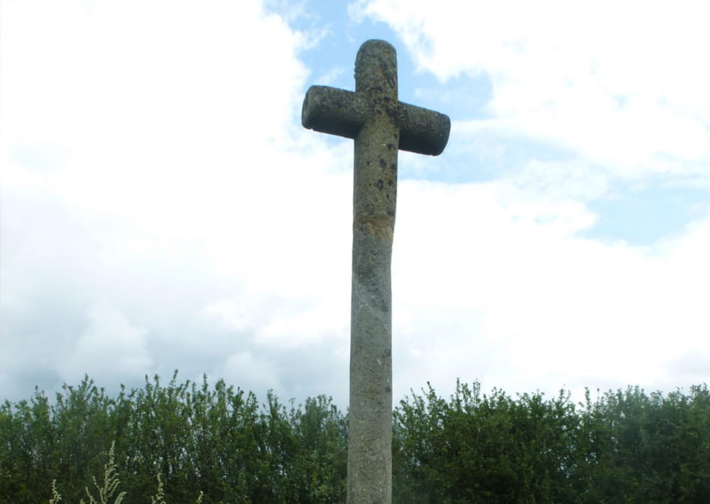
Starting point - From the starting sign, located on Place de la Résistance, opposite the iron cross and between 2 conifers, go down through the passage of the Canche. Beautiful habitat heritage. Continue opposite by going up rue Borie. At the T-junction, turn right and continue along the grassy path. At the next crossing, turn right into a wide dirt road (viewpoint) to an electric pole facing a calvary.
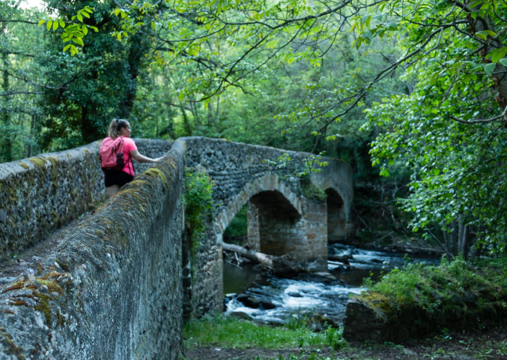
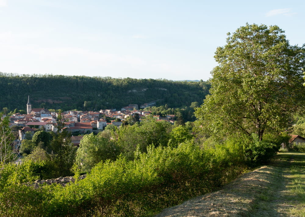
1 - Go down to the right on the grassy path (old Roman road). View on Neschers. At the road, continue the descent to the right towards Neschers. Cross the road of Coudes and go down on the left the street Robert Oléon. Walk past the town hall. Ignore the Chemin des Vergers on the right and the rue des Licettes on the left. Continue until you reach the tower of the Chemin des Meuniers.
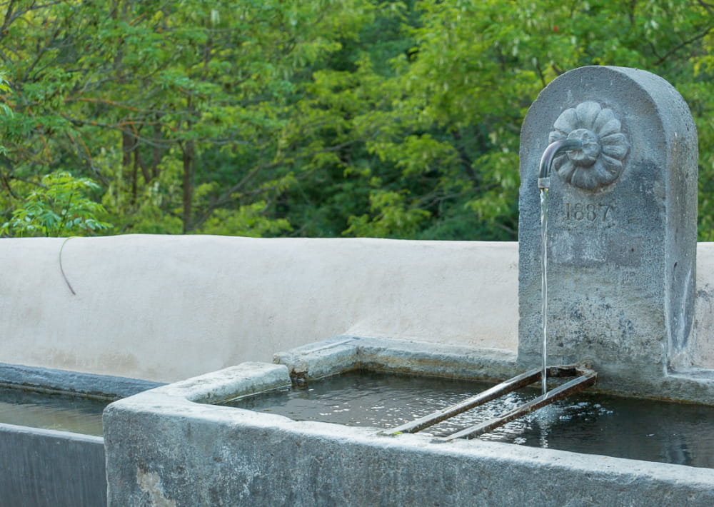
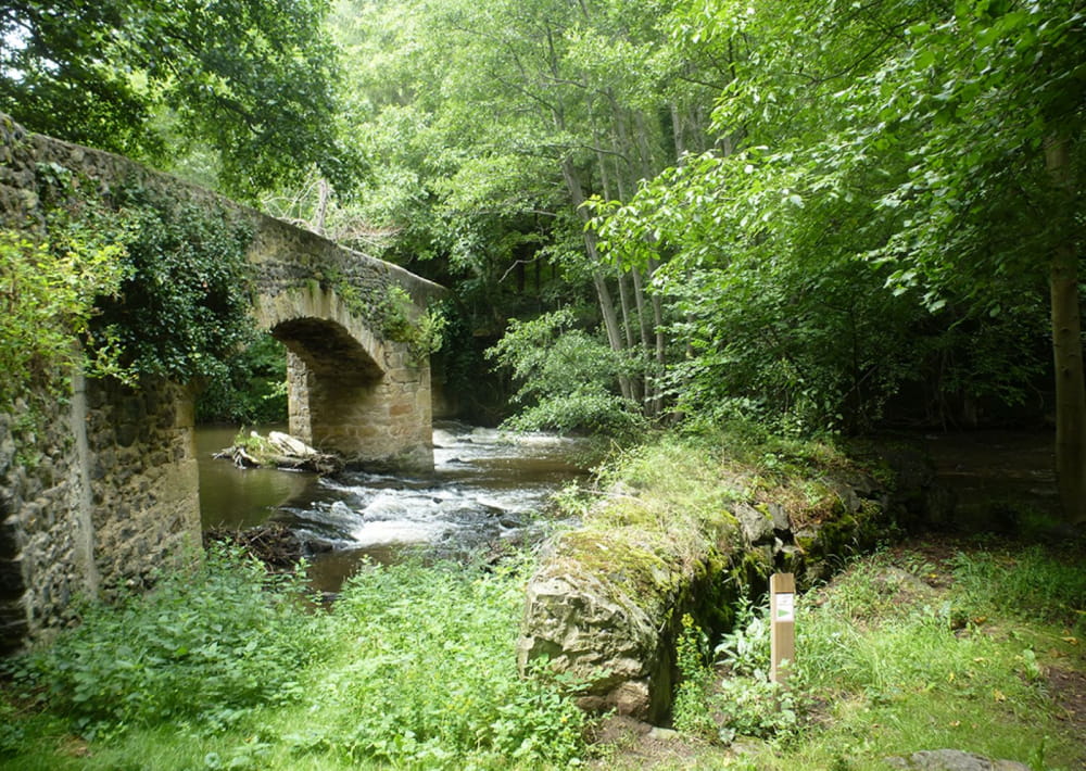
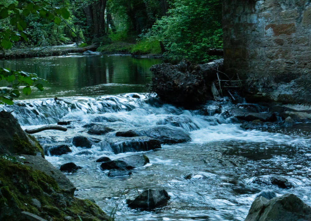
2 - Turn left on rue Pierre Fourvel, until you reach the lava fountain (1859). Turn left into rue des Vignerons. Go around the church. After the calvary, take to the right the rue des Murettes extended by the rue des Croix Basses. Facing the n°11, go down to the right to reach the banks of the Couze Chambon. Do not take the Pont des Croix Basses but follow the Couze to the right (picnic area). At the rue du Theil, turn left. Go under the bridge. Continue along the Couze Chambon by Chemin des Meuniers on the left, until you reach a dam on the watercourse.
3 - Take the 2nd narrow path on the right between high walls.
4 - At the first crossing of 4 lanes, turn right, then, 50 m further on, turn left. At the next T-junction, turn right to join an asphalt street. Turn left until you reach characteristic point 2. Turn left then, 50 m further on, turn left again into Chemin des Vergers, until you reach the cemetery. Turn right, cross the road of Coudes to go up by the track opposite. At the top of the hill (crossing), turn left (view of Chadeleuf) until you see a steep drainage channel
in the coppices on the right.
5 - Go down to the right, in the drainage channel, by a path with laces. Walk past a dovecote. At the bottom of the slope, turn right. Walk past a washhouse, then turn right for 80 m. Then go up on the left by a path. In the village, take the Champ Serre trail. At the foot of the tower, turn left and then right. Reach the starting point after going around the church and passing under a fortified gate.
- Type : Boucle
- Nature du terrain : Ground
- Environnement : Presence of livestock and guard dogs, In the country
- Animaux acceptés : Les chiens doivent être obligatoirement tenus en laisse en raison de la présence de troupeaux.
- Pour votre sécurité, prenez toujours avec vous une bouteille d'eau, un chapeau, des vêtements chauds et contre la pluie, et équipez-vous de chaussures adaptées à la marche.
Selon les conditions météorologiques, certains itinéraires sont déconseillés par mauvais temps (brouillard) ou ne sont pas praticables, voire interdits, durant la saison hivernale.
Certains sites sont fragiles, restez sur les sentiers aménagés. Évitez de cueillir les fleurs sauvages et de dérangez la faune. Ramassez vos déchets.
Sur certains itinéraires, les animaux sont interdits.
Mise à jour le 25/06/2024 Par Conseil départemental du Puy-de-Dôme